| About This Shoot | Date: 26 June 2011 | Location: Nebraska Sandhills near Hyannis, NE | Shoot Type: Storm Chase | Rating: | Synopsis:
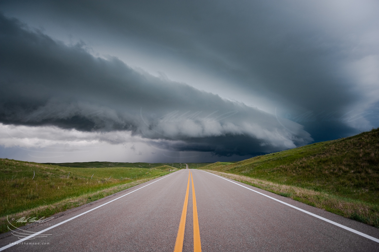
Jay and I intercepted a supercell storm that morphed into an elongated severe storm as it moved southeast toward the Hyannis, NE area. At sunset, we photographed a beautiful sunset toward the western horizon as the shelf cloud was approaching. |
|
Other Shoots Around This Date 
16 Jun | 
17 Jun | 
18 Jun | 
19 Jun | 
20 Jun | 21 Jun | 22 Jun | 
23 Jun | 
24 Jun | 
25 Jun |
26 Jun | 
27 Jun | 
28 Jun | 29 Jun | 30 Jun | 1 Jul | 2 Jul | 3 Jul | 4 Jul | 5 Jul | 6 Jul | |
|
Navigate Other Shoots (by year) Navigate Other Shoots (by month)
|
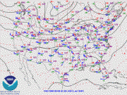
Preliminary Storm Reports from 26 June 2011
 |
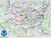
1630 UTC SPC Products from 26 June 2011

Categorical Convective Outlook
|

Probabilistic Tornado Outlook
|

Probabilistic Hail Outlook
|

Probabilistic Wind Outlook
|
|
Evening Meteorological Charts from 26 June 2011

250mb Chart
|
500mb Chart
|
700mb Chart
|

850mb Chart
|

Surface Chart
|
|
|
Fri, 1 Jul 2011 22:58:37 -0500
Chase Trip Day 11 (June 26) Summary: Shelf cloud in the Sandhills (near Hyannis, NE)
Summary & Images (part 1) | Overall, this was a rather frustrating day in terms of supercell
interception. A day that started out with a lot of hope and potential
with very high moisture leading to extreme CAPE over western Nebraska
turned out to be largely a dud of an event. The atmosphere decided to
convect early in the day in the sandhills of northern Nebraska with a
large area of elevated severe storms that moved southeast across
central Nebraska and leaving in its wake a rather large cold pool.
The best surface-based airmass was found to be over extreme
northeastern Colorado and southwestern Nebraska, but this area was
very capped. Jay Antle and I decided to target the area from Oshkosh,
NE to Julesburg, CO. In this area, towering cumulus flirted with
development into storms at times during the afternoon, but the low
level convergence was weakening due to winds responding more to the
elevated heating over the Laramie mountains. Cold frontogenesis was
occurring over central Wyoming, and storms eventually formed over the
Laramies along this front. We gave up on the capped airmass from
Oshkosh to Julesburg and drove west toward towers forming near
Cheyenne. Other storms were visible in the distant northwest through
north. Ultimately, we decided to go after a nice looking storm (both
visually and on radar) well to our northeast near Rushville, NE
entering the sandhills. It was supercellular in nature, and visually
it revealed rock-hard towers with some corkscrewing to the convection.
We blasted east on Hwy 2 from Alliance to make an intercept on this
southeastward moving storm and would be in good position by the time
we reached Hyannis. Problem though. It was moving into the cooler
airmass left behind the earlier day storms. In fact, the airmass was
so moist and not all that warm that low stratus was developing ahead
of the storm. Bad news for photography!! This was really
frustrating. Nevertheless, we continued north to intercept the storm.
It became more elongated on radar, and we were finally greeted to a
wonderful multi-tiered shelf cloud about 15 miles north of Hyannis.
We stopped for a bit to photograph the approaching shelf cloud over
the landscape of the sandhills. We then backtracked to Hyannis and
continued south on Hwy 61 stopping again to let the storm approach us.
We found a decent spot to pull off that had some adequate views
looking west amidst grazing cattle and a small pond. At sunset and on
the other side of the approaching shelf cloud, the sky lit up in
intense orange and magenta hues. The light was incredible, but I wish
it was a bit closer to us! Nevertheless, we got some good photos of
this amazing light with the shelf cloud approaching. This would be
the last of photography for this chase, but at least we managed to
photograph something out of this overall frustrating day. We headed
back to Ogallala, NE for the night.
Below is the sequence of images when we stopped north of Hyannis, NE
for the first look at the approaching storm and shelf cloud:
| (click on thumbnails for pop-up of larger images) |
|