Thu, 13 Jun 2013 22:08:23 -0600
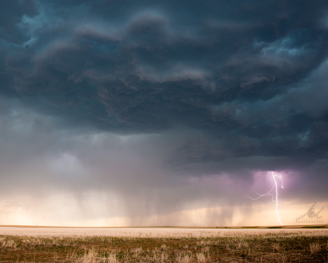
High-based severe storm developing west of Woodrow, Colorado on 13 June 2013 | This image was looking west-northwest at the developing severe storm which
would ultimately become a substantial dust storm with a large number of
gustnadoes when the storm reached Hwy 71. The image posted here is of the
cleanest look I had of the storm before it became a mess with a bunch of
blowing dust everywhere.
|  |
|