Sat, 29 Jun 2013 08:54:36 -0500
New storm taking on impressive HP structure north of Atwood, KS
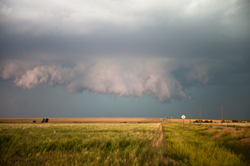
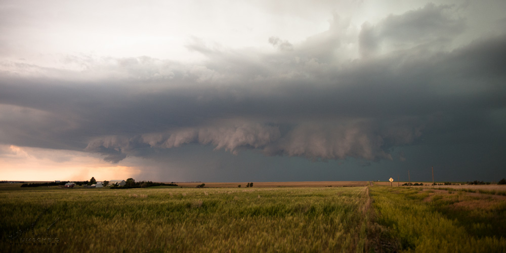
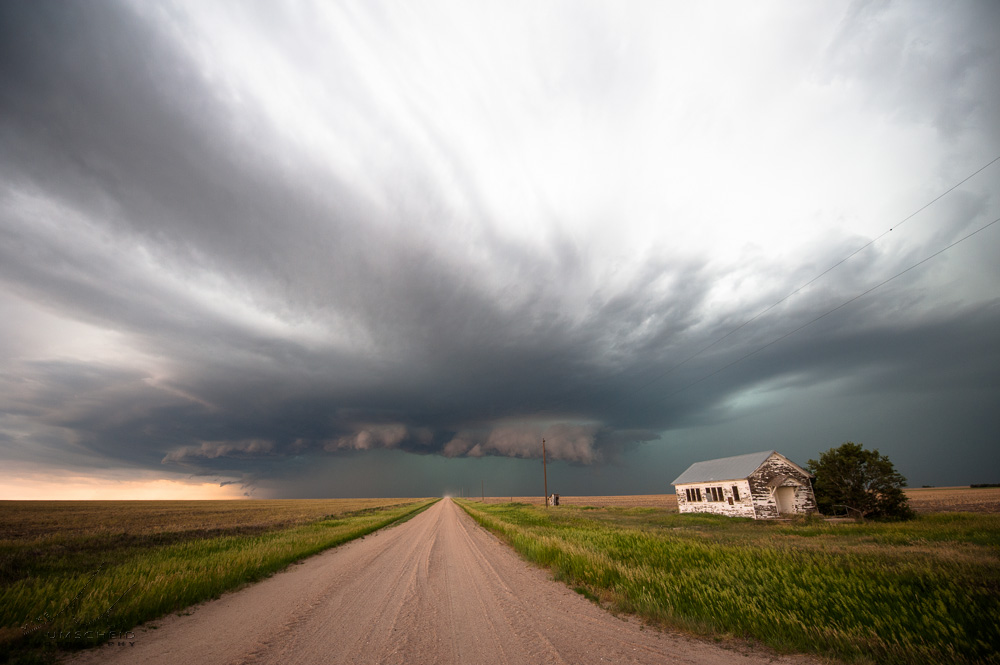
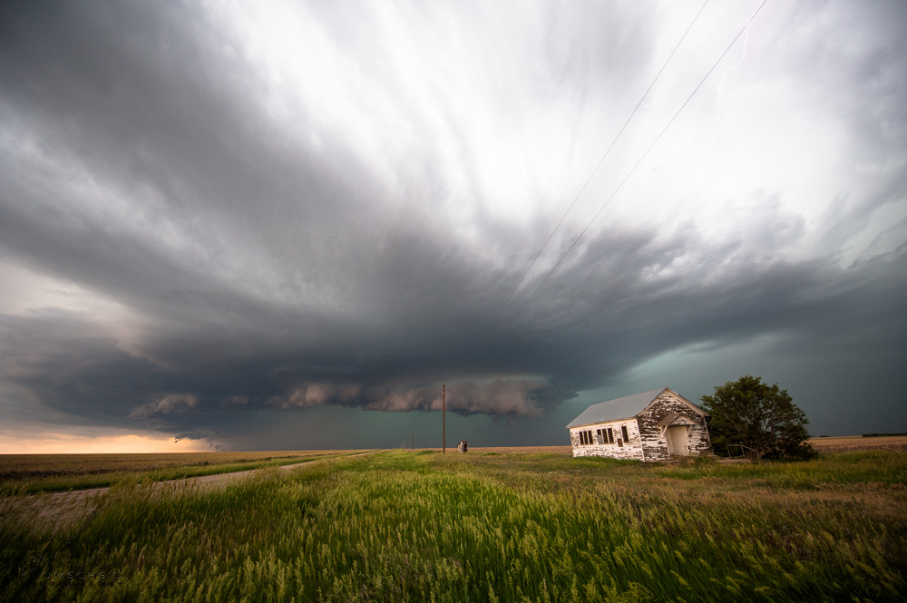
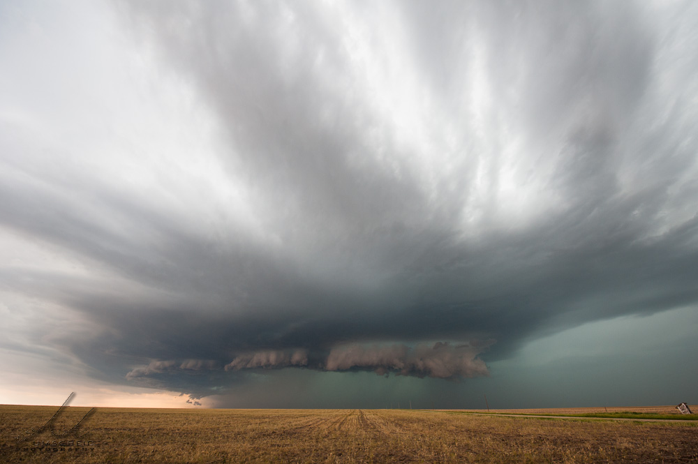
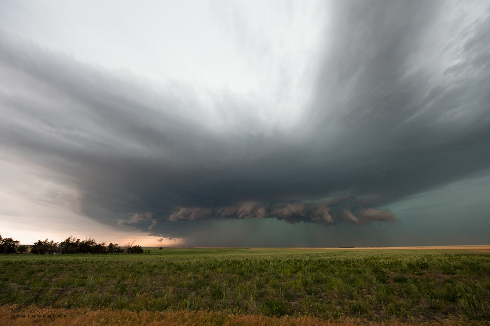
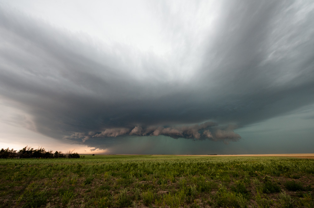
Summary & Images (part 7) | Between about 6:07pm and 6:20pm, I photographed some developing high-precipitation storm structure to my west from a location about a mile west of Highway 25 about 4 miles south of the Kansas-Nebraska state line (39.9435806,-101.0740967). I found an old school house at the county road intersection and used it as a foreground subject. The storm was clearly in an uptrend in strength during this time as the structure of the storm was really improving nicely during this time frame here at this location.
| (click on thumbnails for pop-up of larger images) |
|