Synopsis:
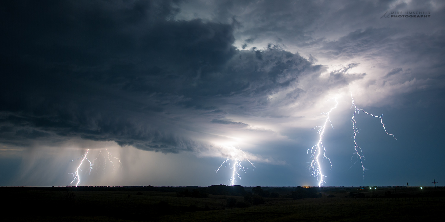
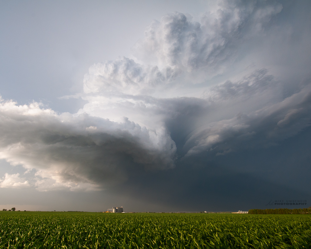
This was a very good chase day, which started slow and potentially a bust. I was limited to chasing southern Nebraska, since I had to go back to Dodge City after this chase due to working day shift the following day. After an initial brief storm near Arapahoe, NE, I waited the atmosphere out near Holdrege in hopes of new development within an hour from my location. A new storm finally formed near Kearney, which developed into an LP supercell. The flow aloft was from the WNW, so I remained south to southwest of the storm updraft the entire time. Awesome supercell structure was photographed south of the Platte River/I-80 from southeast of Grand Island to south of Aurora to south of York. At sunset, I photographed a new storm off to the northwest into the setting sun with some mammatus and let the original storm go to the east. The original supercell eventually turned into a monster HP supercell with embedded tornado and destructive straight line winds as it approached Beatrice. Incredible lightning was observed from this massive storm to the east and the storm to my northwest which became a supercell itself after dark. I got some good after dark lightning including lightning illuminated structure along the KS-NE border near Chester. Final, distant lightning illuminated structure was photographed from south of Belleville, KS. |