| About This Shoot | Date: 16 July 2011 | Location: North-central Kansas from east of Stockton to near Luray, KS | Shoot Type: Storm Chase | Rating: | Synopsis:
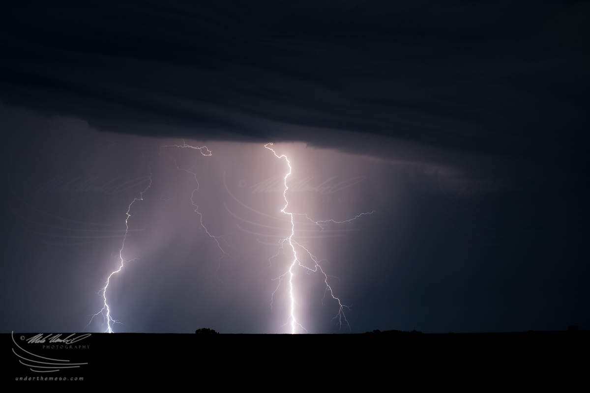
On my way home from Grand Island, NE where I ended the chase the night before, I ran into very electrical storms north of I-70. I decided to photograph these storms for a couple of hours from about 2:30 to 4:30am. Some of the lightning was very impressive, especially once the storm moved past me near Luray with the stars and a near-full moon coming out. I finally made it back home about 7:30am! |
|
Other Shoots Around This Date 6 Jul | 7 Jul | 8 Jul | 9 Jul | 10 Jul | 11 Jul | 12 Jul | 13 Jul | 
14 Jul | 
15 Jul |
16 Jul | 17 Jul | 18 Jul | 19 Jul | 20 Jul | 21 Jul | 22 Jul | 23 Jul | 24 Jul | 25 Jul | 26 Jul | |
|
Navigate Other Shoots (by year) Navigate Other Shoots (by month)
|
Preliminary Storm Reports from 16 July 2011
 |
1630 UTC SPC Products from 16 July 2011

Categorical Convective Outlook
|

Probabilistic Tornado Outlook
|

Probabilistic Hail Outlook
|

Probabilistic Wind Outlook
|
|
Evening Meteorological Charts from 16 July 2011

250mb Chart
|

500mb Chart
|

700mb Chart
|

850mb Chart
|

Surface Chart
|
|
|
Tue, 26 Jul 2011 11:27:55 -0500
Luray, KS lightning at 4:00am! (Images Part 1 of 2)
Summary & Images (part 1) | On my way home to Dodge City following the previous night's chase in
southern Nebraska, I came across nocturnal storms that were rather
electrical... making for a very nice photography opportunity! Because
of this, however, I didn't roll into my driveway until about an hour
after sunrise shortly after 7:00am! It was worth it :)
| (click on thumbnails for pop-up of larger images) |
|