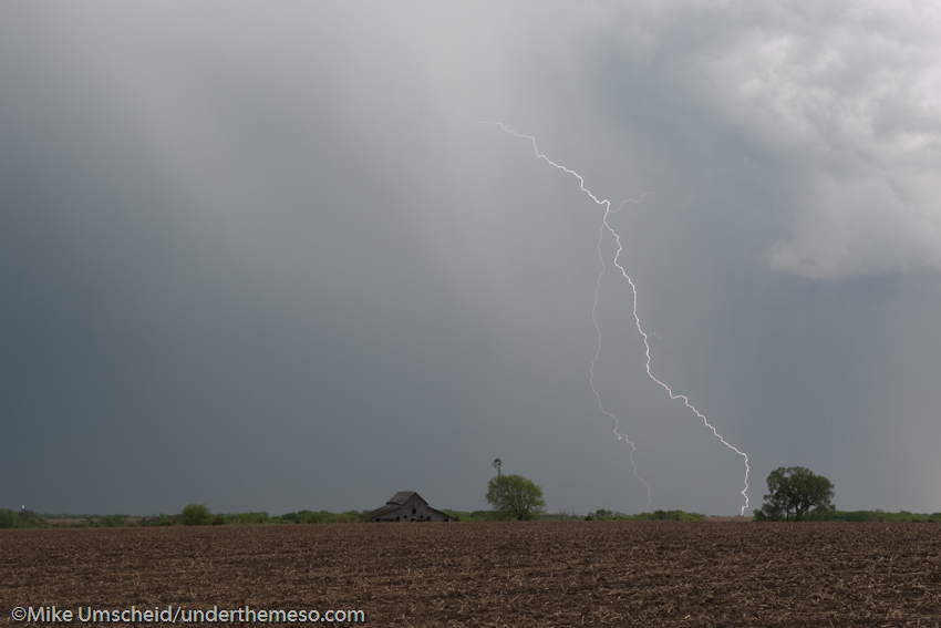
Rob, Jon, Mitch, Candice and I targeted the York, NE area on May 12th.
We intercepted the initial storms north of York as we waited for the
activity to move toward us... but it really never did. As a result,
we were caught too far north to observed the weak, brief, very small
funnel cloud(s) and/or tornado(es) near York. We then drove south to
intercept new storms down in the Fairbury area, ultimately concluding
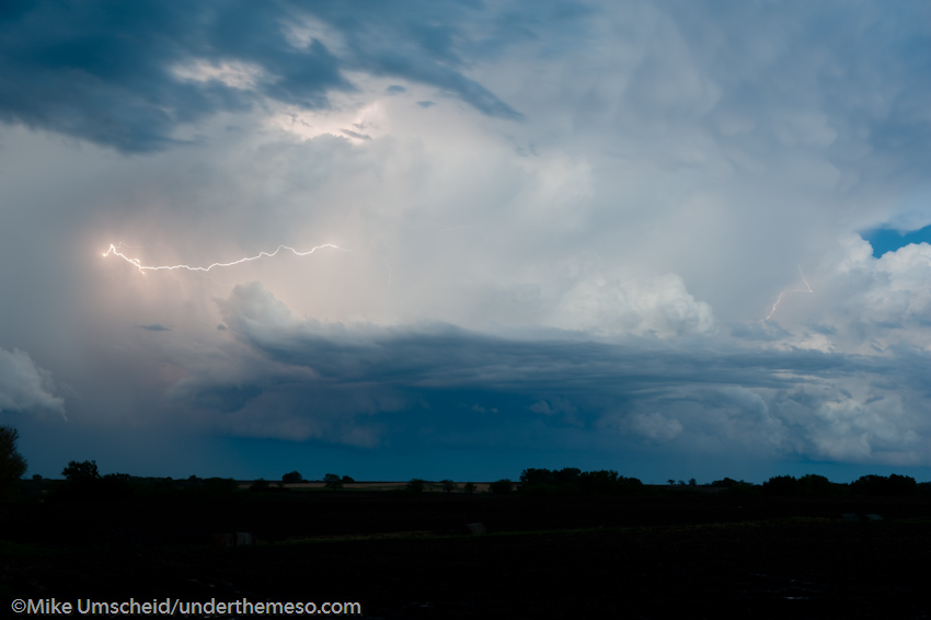
the chase near Odell along the KS/NE border south of Beatrice, NE. I
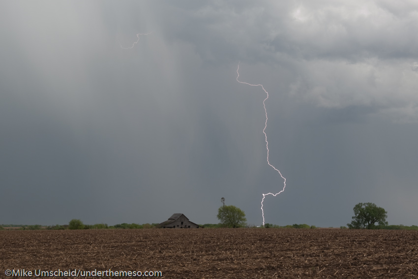
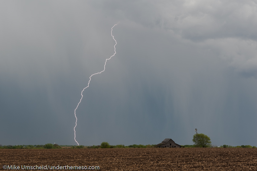
was fortunate to capture some cloud-to-ground lightning flashes with a
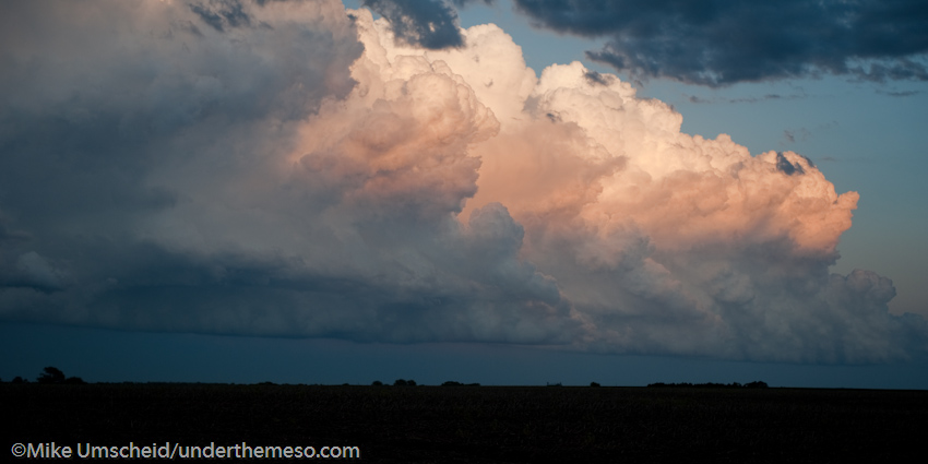
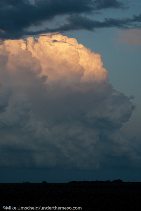
barn and windmill in the landscape. The backside cumulonimbus
structure was impressive as well just after sunset near Odell. All in
all a fun chase and quite pleased with the lightning images captured.
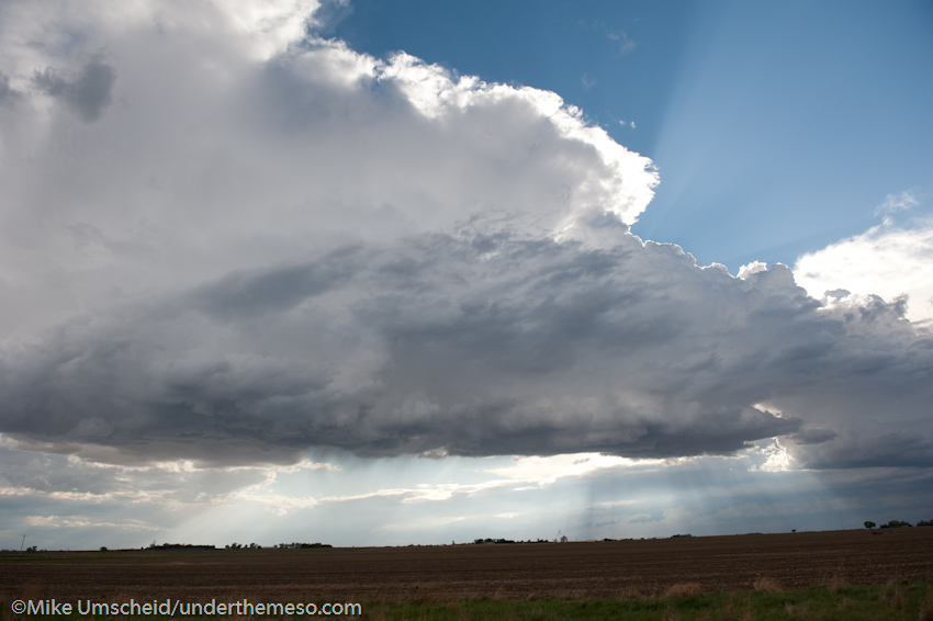
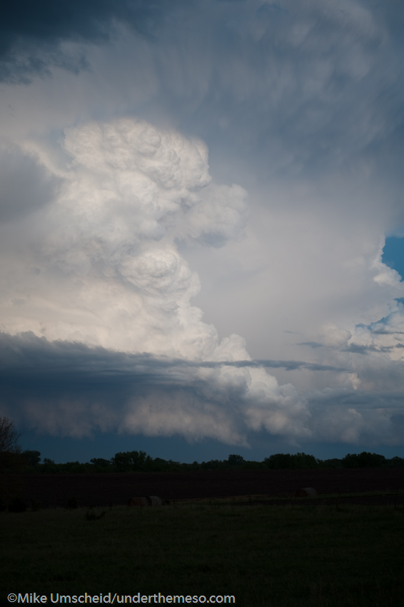
We intercepted another marginally severe storm near Oberlin to
conclude the May 11 chase. We photographed this storm from along
Highway 36 as well. We let the storm go by to the north and this
yielded impressive view of the convection on the backside of the
storm. This was quite photogenic. We then concluded the chase at
Oberlin and headed to WaKeeney, KS for the night again.
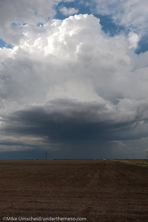
After the Burlington, CO supercell, we continued east to Colby and
north to Atwood catching that marginal supercell storm from the south.
We sat at a location about 6 miles east of town and photographed the
storm for about 15 to 20 minutes:
Vona to Burlington, CO storms early in the chase. The Burlington
supercell was more impressive as we drove right under it along I-70
then briefly photographed it from the east along I-70 (image at
left). We continued east to Colby after this.