I was hoping for some photogenic scenes on the back side of the storms
we let roll over us near Hutchinson. Unfortunately, the sun had
fallen behind some distant cirrus, so we didn't get good sunset light.
Some intra-cloud lightning illuminated the sky to the east as the
storm moved on and I manage to get a few marginal lightning images.
After we left this scene I stopped again about 15 minutes later as
mammatus was evident in the low light. I set the tripod up and did
some long-exposure work here for about 10 minutes. A couple of the
images are seen below:
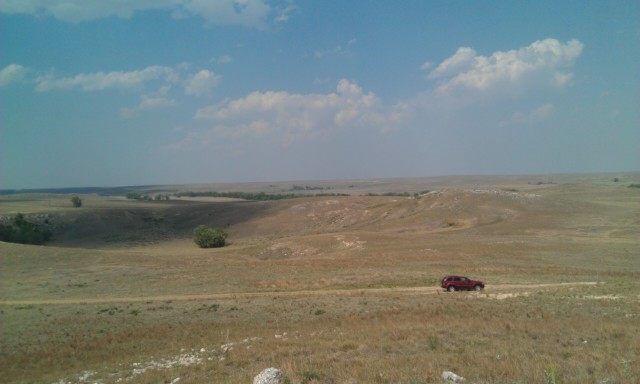
Images below are from the sequence of the chase along Hwy 50 in
Stafford and Reno County. The storms that developed to our
south-southwest as we were in Larned did not become supercells... but
evolved into a linear mess of strong to marginally severe storms. It
was basically shelf cloud photography from this point on with these
storms. We followed these until we approached Hutchinson then let the
storms roll over us and then began our way back to Dodge City.
Overall, I wish I had May 24th to do over again. This was a high-risk
day for severe storms from southern Kansas into Oklahoma. It was
much-advertised, including by yours truly with various blog postings
prior to the event. All along I had decided to stay in Kansas to
chase since there was the potential for tornadic supercells closer to
home versus anywhere else. I decided to target the from Pratt to
Hutchinson, but as the morning of the chase day came to pass --
another target area emerged. This was the area WEST of Dodge City as
winds were becoming easterly behind an early morning outflow boundary
with lower 60s dewpoints as far west as the Highway 283 corridor
(Dodge City to Ness City). A supercell formed early in the afternoon
near Liberal and it was moving up toward the Cimarron-Dodge City area.
I decided to make this my target storm. A friend of mine from
bowling was also with me on this chase.
We left around 2:30 for the storm approaching Hugoton. The fate of
the chase day was determined very early on -- a poor decision of mine
to head southwest on Hwy 54 toward Copeland versus Hwy 50 toward
Cimarron-Ingalls. I had thought that the storm would begin to
right-turn and move more northeast (instead of north-northeast) when
it was down near Hugoton. The storm never did do this...until it
reached Highway 50...of course! So, we ended up falling behind the
storm in a hurry since it was booking north-northeast at a good 40
mph. We had to play catch up and blast north on Hwy 83 to Garden City
and intercept it from behind on K-156. We finally did get back into
the inflow sector of the storm near Kalvesta. Along the way, we came
across some very large hail along the highway west of Kalvesta. I
estimated some of the stones behind 2" in diameter, but I'm sure there
were some baseball-sized stones scattered in there. We didn't stop
because I wanted to continue getting into a proper position to
photograph the storm itself.
At Jetmore, we drove north on Hwy 283 and it did not take long to get
a good view of the supercell updraft structure to our west-northwest.
Radar showed a fairly good appendage/nascent hook echo with a slight
velocity couplet approaching the Ness-Hodgeman county line. Then we
came upon that dreaded road sign: One lane road ahead. I couldn't
believe it. What a time to run into road construction/pilot car. We
came upon the pilot car stop and the storm updraft and rotation was
coming upon us. we only sat there for a minute or two before deciding
this was stupid and turned around and got the hell out of there.
About a mile south of that, I pulled off and photographed some of the
structure of the storm approaching. There was definitely broad scale
cloud base rotation on the south side with RFD rain curtains rotating
around the backside basically coming straight for us. I was able to
get a few images of the supercell approaching (shown below). This was
the only time we would photograph this storm. After that, the road
network was unfavorable and we continued on east-northeast along K-156
again in the general direction of Larned.
By this time, we were already way out of position to intercept
tornadic storms that had formed to our northeast across Rush County.
Other storms tried to form back down into Pawnee County, but these
were also northeast of us and continued to race north-northeast. When
we reached Larned, I decided it was just time to regroup and figure
out what to do next. Other storms began to form to our
south-southwest which would be good intercepts for us... so we went
after those storms. Continued in post #2