a change in plans from preivous post, will have dinner here in Colby
with some of the vortex-2 contingent then back to Dodge probably by
1:00am or so. More tornadoes north of Goodland, but I’m tired of
driving and it’s not the best structure from the south, so I’m done
shooting.
** Near-real time radar with Mike Umscheid's position along with mobile blog and photo updates! More detailed information on UTM's Live CHASE MODE here!**
status: >> August 2022 -- North American Monsoon Lightning -- Southeast Arizona Region
(this page auto-refreshes every 90 seconds)
|
....map loading, please wait...
....map loading, please wait...
|

|
-- No recent radar/chase position image. --
Mike has not been in active CHASE MODE in the past 48 hours!
== Most recent mobile blog & photo updates ==
May 23, 2010
chase update may 23 9:25pm cdt
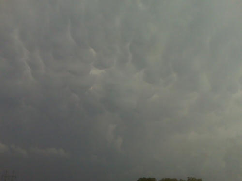
Photographed lightning in northwest ks
Time, 8:38 central. I am just west of COLBY, Kansas. Photographed some lightning. It was some decent success but I will be heading home to Dodge City now. I did not observe the recorded tornadoes. Shortly after after 8:00, I was too far east. More later.
[ Transcribed by MyCaption ]

Into kansas
Time, 5:22 Central, I am just south of Alma, Nebraska, continuing south to interstate 70. There is towering cumulus clouds on satellite in Trigo County. Actually, all along the line, extending southwest and Northeast from there. We will just drive south and hopefully a storm will form along I-70 around __ or thereabouts or later.
[ Transcribed by MyCaption ]