Wow!!
** Near-real time radar with Mike Umscheid's position along with mobile blog and photo updates! More detailed information on UTM's Live CHASE MODE here!**
status: >> August 2022 -- North American Monsoon Lightning -- Southeast Arizona Region
(this page auto-refreshes every 90 seconds)
|
....map loading, please wait...
....map loading, please wait...
|

|
-- No recent radar/chase position image. --
Mike has not been in active CHASE MODE in the past 48 hours!
== Most recent mobile blog & photo updates ==
May 10, 2010
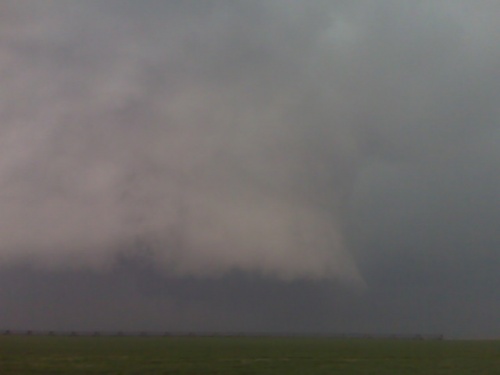
Chase update may 10 1pm
Convection has started to fire west of Garden city. Near [Lake End?], there is an east to west boundary extending from these storms east toward Garden City. I will head into norther Finney County and intercept. Tornado environment looks very good.
[ Transcribed by MyCaption ]
May 6, 2010
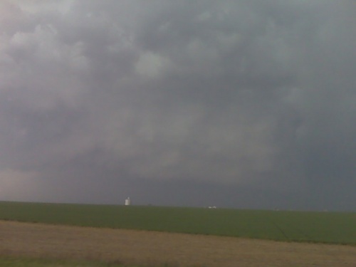
Dryline didn’t fire.. back to dodge
The dry line up draft towers that looked interesting for about 30 minutes or so, fizzled, and I will head back to Dodge City. There are some storms, Northeast of Goodland that are moving along the Nebraska, Kansas border. However, given the fact that I have to be back at work at midnight, I will not go after these, instead I will head on home.
[ Transcribed by MyCaption ]