North of Burdertt ks at 540pm
** Near-real time radar with Mike Umscheid's position along with mobile blog and photo updates! More detailed information on UTM's Live CHASE MODE here!**
status: >> August 2022 -- North American Monsoon Lightning -- Southeast Arizona Region
(this page auto-refreshes every 90 seconds)
|
....map loading, please wait...
....map loading, please wait...
|

|
-- No recent radar/chase position image. --
Mike has not been in active CHASE MODE in the past 48 hours!
== Most recent mobile blog & photo updates ==
May 6, 2010
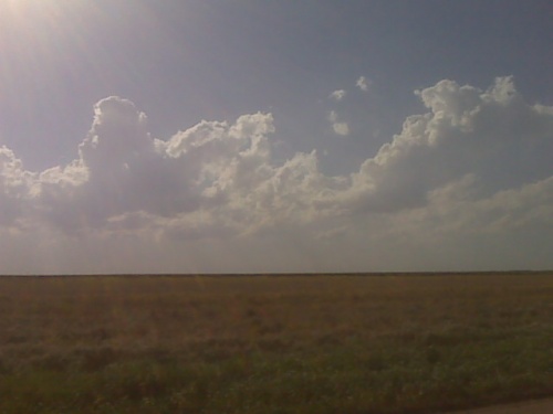
Cumulus developing at nose of heat axis 435pm 5/6
I decided to drive northeast of Dodge a little bit to monitor growing cumulus clouds around Hanston or Larned areas. I am not sure if storms will develop here or farther northeast, but will head up did this direction and watch. I must stay relatively close to Dodger City since I work at midnight.
[ Transcribed by MyCaption ]
May 2, 2010
Chase day may 2 concludes
I am on my way home after what ended up being a rather successful photography evening despite the dismal look earlier on. I got several daytime lightning images which turned out quite well I think. So, I am quite happy, thus likely ending Chase vacation number one, of 2010. More later.
[ Transcribed by MyCaption ]