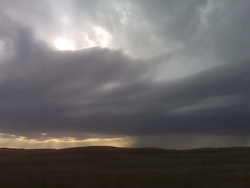
North of arnold looking west
** Near-real time radar with Mike Umscheid's position along with mobile blog and photo updates! More detailed information on UTM's Live CHASE MODE here!**
status: >> August 2022 -- North American Monsoon Lightning -- Southeast Arizona Region
(this page auto-refreshes every 90 seconds)
|
....map loading, please wait...
....map loading, please wait...
|

|
-- No recent radar/chase position image. --
Mike has not been in active CHASE MODE in the past 48 hours!
== Most recent mobile blog & photo updates ==
April 28, 2010
Chase update
Time is 5:53 PM. Pretty good looking up draft based to my north west, it’s moving north east into the sand hills. So the plan is to go north at Paxton or Sutherland to try and stay ahead. We’ll see if this develops.
[ Transcribed by MyCaption ]
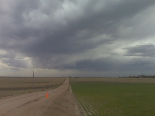
chase update 4/28 12:45pm cdt
Great view overlooking Lake McConaughy, already some initial cumulus
development in the distant west-northwest. Obviously, it’s way early
still, so I’m gonna go grab some lunch in Ogallala. Mid 40s dewpoints
are coming up into this area, and with continued convergence and
pooling we may see some 48 or 49 dewpoints by early this evening,
which would support around 1000 J/kg CAPE.
April 26, 2010
Chase Trip Day Three (Apr 26) Forecast
Today is a down day. I will be driving back to Dodge City from Amarillo. Overnight last night I did some moonlit landscape photography in the Palo Duro Canyon area along Hwy 207 southeast of Amarillo. I think some of the images will come out pretty good with a sky full of stars amidst the canyon landscape.
I will hang around home today, and then perhaps depart for the South Dakota-Nebraska border area near the southern Black Hills… Low level moisture/CAPE will be rather minimal and since Thursday’s best play could be as far south as the Red River, I may have to forego the brief trip up north. More on this in a later post. -Mike U