Camera phone doesn’t do it justice at all. Photos from my Nikon will b far superior obviously
** Near-real time radar with Mike Umscheid's position along with mobile blog and photo updates! More detailed information on UTM's Live CHASE MODE here!**
status: >> August 2022 -- North American Monsoon Lightning -- Southeast Arizona Region
(this page auto-refreshes every 90 seconds)
|
....map loading, please wait...
....map loading, please wait...
|

|
-- No recent radar/chase position image. --
Mike has not been in active CHASE MODE in the past 48 hours!
== Most recent mobile blog & photo updates ==
April 15, 2010
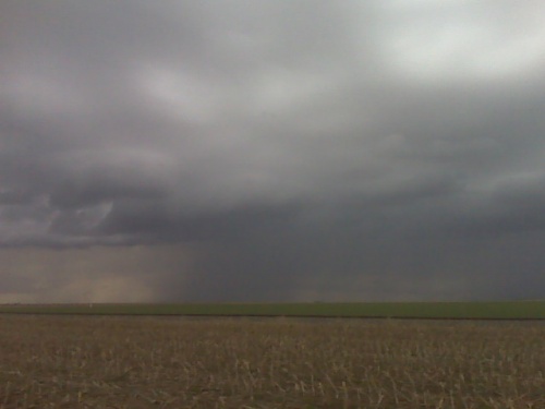
Colorful storm at sunset
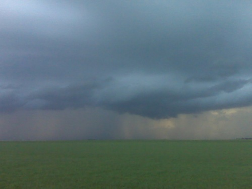
outflow dominant storms near quinter ks
on an outflow dominant storm trying for some remaining daylight
lightning photography near one of the rain shafts… hopefully a
somewhat tiered shelf cloud can form, but nothing much yet… the
storms have developed as far southwest as western gove county… but
still remaining sub-severe.
trying to exercise patience
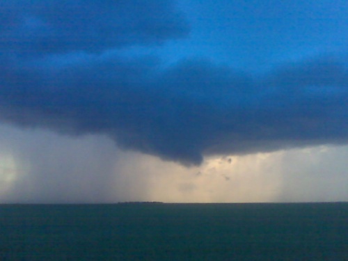
I am between scott city and dighton. I had just about given up on the
scott city area as the cumulus were just struggling to ascend deep
into the troposphere…so I started heading east on Hwy 4 closer to
ongoing weak storms north of Wakeeney. Upon reaching Healy, I noticed
new development on radar to the west-southwest of Scott City. So I am
now about halfway between the two areas of interest. There’s a small
congestus clump to the north-northeast that keeps going up and down,
so I’m just going to sit here for a little bit I think along hwy 4
until it becomes more clear which area to commit to. -mike u