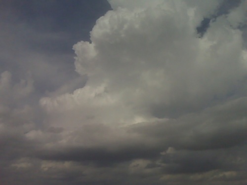
Sitting just outside of scott city watching a weak shower develop and weaken.. But more towering cu are developing in this area and to the west and southwest… 18z NAM continues to suggest that this area will develop marginally svr storms by 00z (7pm).
** Near-real time radar with Mike Umscheid's position along with mobile blog and photo updates! More detailed information on UTM's Live CHASE MODE here!**
status: >> August 2022 -- North American Monsoon Lightning -- Southeast Arizona Region
(this page auto-refreshes every 90 seconds)
|
....map loading, please wait...
....map loading, please wait...
|

|
-- No recent radar/chase position image. --
Mike has not been in active CHASE MODE in the past 48 hours!
== Most recent mobile blog & photo updates ==
April 15, 2010
April 10, 2010
Test!
Tjhis is a test message emailing to my blog from the road. Would love to be seeing sme storms right now! TEST. Tornado just observed but brief about 5 mins ago to near hodgeman ford county line TEST!!
Test!
Tjhis is a test message emailing to my blog from the road. Would love to be seeing sme storms right now! TEST. Tornado just observed but brief about 5 mins ago to near hodgeman ford county line TEST!!
April 4, 2010
Horsethief reservoir
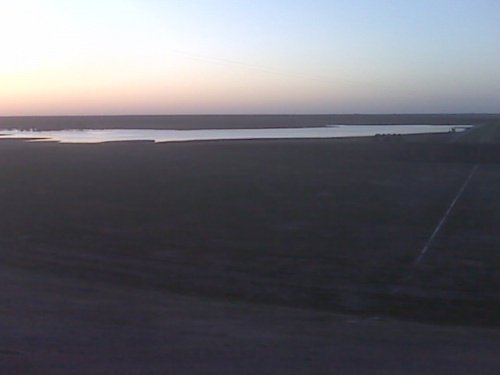
The brand new reservoir is about 35 percent full. Hopefully the basin that feeds this will get dumped on this spring to fill it up!