830pm cdt se of goodland ks
(Sent by Mike’s Alltel Blackberry smartphone)
** Near-real time radar with Mike Umscheid's position along with mobile blog and photo updates! More detailed information on UTM's Live CHASE MODE here!**
status: >> August 2022 -- North American Monsoon Lightning -- Southeast Arizona Region
(this page auto-refreshes every 90 seconds)
|
....map loading, please wait...
....map loading, please wait...
|

|
-- No recent radar/chase position image. --
Mike has not been in active CHASE MODE in the past 48 hours!
== Most recent mobile blog & photo updates ==
July 12, 2009
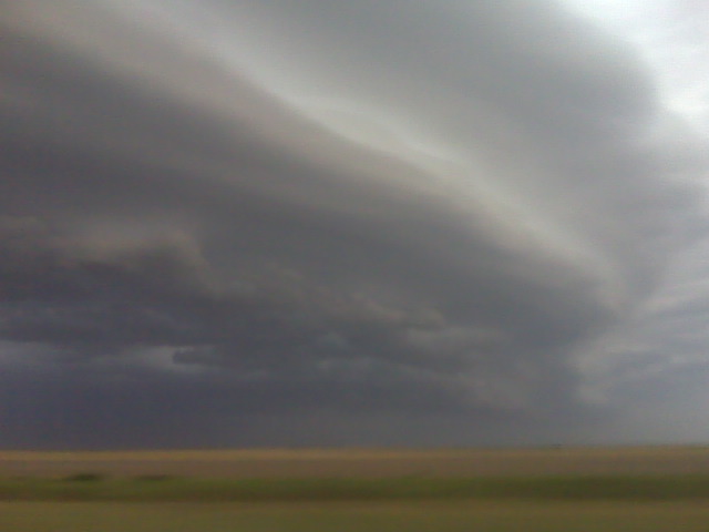
Outrunning the shelf cloud!
High based svr storm shelf cloud

Nw of cheyenne wells co
(Sent by Mike’s Alltel Blackberry smartphone)
High based svr storm shelf cloud
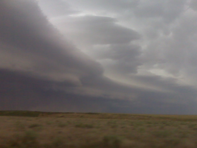
Nw of cheyenne wells co
(Sent by Mike’s Alltel Blackberry smartphone)
An eastern colorado outflow-dominant beastie!
Wow… sorry for the lack of updates but that’s because a) poor
internet connection in the last couple hrs and b) being CHASED most of
the time by this beast of a severe storm. Just trying not to get
munched is a chore, and I’ve been on mostly dirt roads… back to
driving more later!
–
Mike Umscheid Photography
http://gallery.underthemeso.com
mesomike@gmail.com
Svr storms w of kit carson
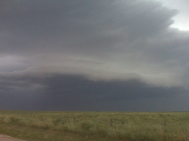
Whew!! This has been one active chase. Great structure outflow dominant beastie!
(Sent by Mike’s Alltel Blackberry smartphone)