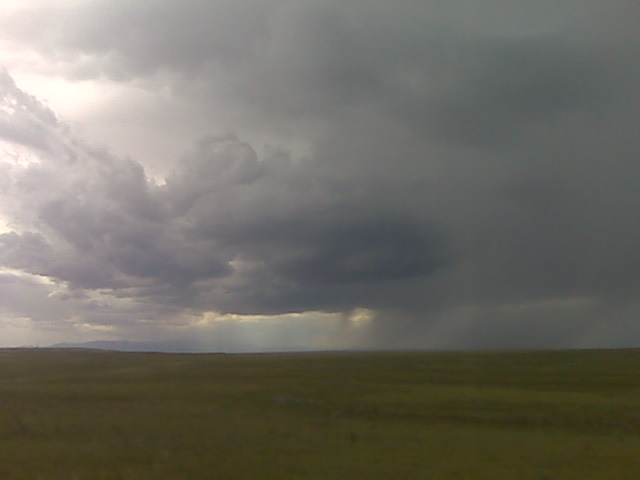
Looking west along the palmer divide near Calhan
(Sent by Mike’s Alltel Blackberry smartphone)
** Near-real time radar with Mike Umscheid's position along with mobile blog and photo updates! More detailed information on UTM's Live CHASE MODE here!**
status: >> August 2022 -- North American Monsoon Lightning -- Southeast Arizona Region
(this page auto-refreshes every 90 seconds)
|
....map loading, please wait...
....map loading, please wait...
|

|
-- No recent radar/chase position image. --
Mike has not been in active CHASE MODE in the past 48 hours!
== Most recent mobile blog & photo updates ==
July 12, 2009
High based storm updraft
along the palmer divide watching towering cumulus grow into small
at 1:45pm mountain time, am sitting along a farm road just north of
Simla watching towering cu to my southeast to south to southwest….
and the one to the west-southwest is already a small storm on radar.
There are more organized storms on radar west of the palmer divide in
the front range… which are moving in my general direction.
–
Mike Umscheid Photography
http://gallery.underthemeso.com
mesomike@gmail.com
Incipient storm development
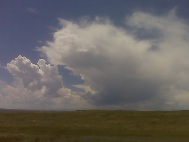
Looking west from near simla, colo along the palmer divide
(Sent by Mike’s Alltel Blackberry smartphone)
July 12th chase forecast
Since I have to drive back to Dodge City after the chase today, I am a
little more restricted to where I can chase — thus am choosing to
play storms in eastern Colorado (perhaps off the Palmer Divide). The
shear is weaker down here, but there should be enough, given the
moisture/CAPE, for some organized chaseable photogenic storms. I will
probably arrive in Dodge City rather late, perhaps 2 or 3 am CDT… or
earlier if storms don’t materialize as expected.
–
Mike Umscheid Photography
http://gallery.underthemeso.com
mesomike@gmail.com
July 11, 2009
Headng to sidney for the nite
It was a very enjoyable evening of storm photograpy on tyhe high plains !
(Sent by Mike’s Alltel Blackberry smartphone)