Already a small attempt at a tower. Good sign for this time of the afternoon!
(Sent by Mike’s Alltel Blackberry smartphone)
** Near-real time radar with Mike Umscheid's position along with mobile blog and photo updates! More detailed information on UTM's Live CHASE MODE here!**
status: >> August 2022 -- North American Monsoon Lightning -- Southeast Arizona Region
(this page auto-refreshes every 90 seconds)
|
....map loading, please wait...
....map loading, please wait...
|

|
-- No recent radar/chase position image. --
Mike has not been in active CHASE MODE in the past 48 hours!
== Most recent mobile blog & photo updates ==
July 10, 2009
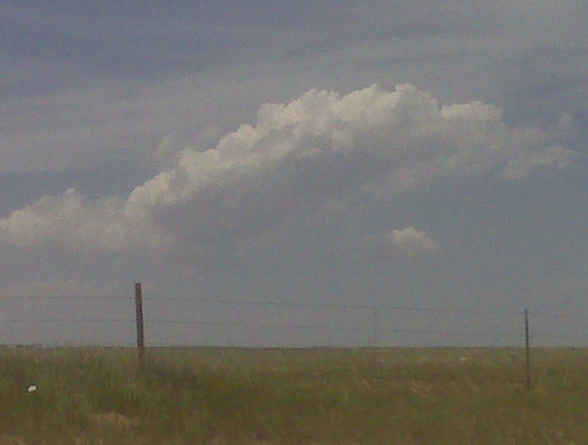
Small tower NW
Incipient cu field
Looking w from just northwest of CYS at 150p mdt
(Sent by Mike’s Alltel Blackberry smartphone)
early afternoon update 7/10
Currently in Cheyenne as of 12:30pm mountain time… just finished
lunch and plan to head north of town just a bit along I-25, hang out
and watch the sky for awhile. I may end up drifting all the way to
Cheyenne. Very warm 700mb temperatures reside just south of Cheyenne
with the 700mb baroclinic zone from Cheyenne northward. Winds are now
light southeast here in Cheyenne, so the 60s dewpoints will be
creeping west toward me. Anything that forms off the Laramie Range
will not take long to suck in the real good moisture. The RUC has
consistently been generating convective QPF on each of the hourly runs
valid later this afternoon/evening… so there’s hope. More later.
–
Mike Umscheid Photography
http://gallery.underthemeso.com
mesomike@gmail.com
July 9, 2009
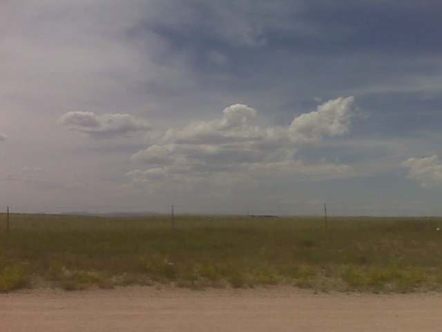
Bustola. Heading to McCook
It’s 7:30, nothing has happened with this cu field, so I am waving the
white flag on this chase day. Heading to McCook for the night.
Hopefully better luck tomorrow on the High Plains!
–
Mike Umscheid Photography
http://gallery.underthemeso.com
mesomike@gmail.com
Small mushy towers
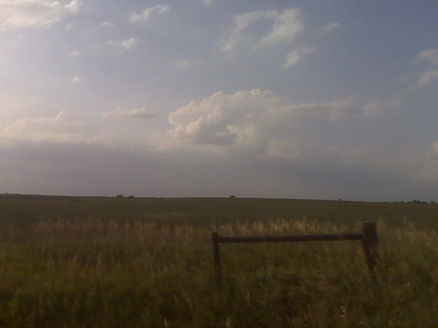
Monitoring mushy cumulus towers struggling against the cap near the ks-neb border shortly after 7pm
(Sent by Mike’s Alltel Blackberry smartphone)