(Sent by Mike’s Alltel Blackberry smartphone)
|
....map loading, please wait...
....map loading, please wait...
|

|
(Sent by Mike’s Alltel Blackberry smartphone)
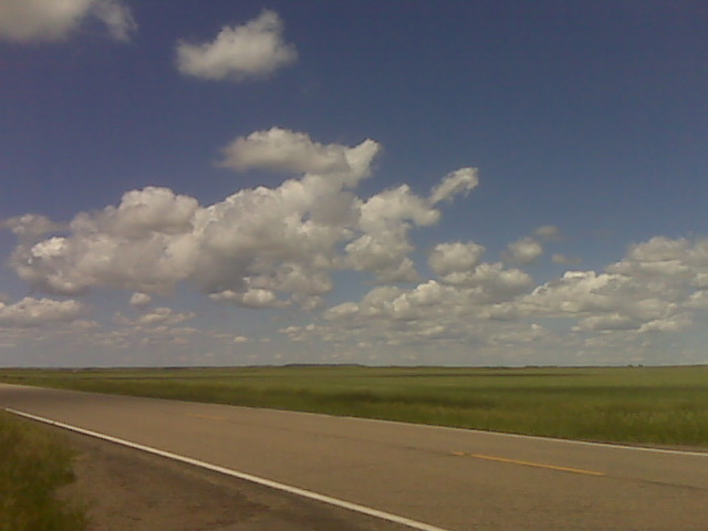
I am currently sitting east of Hettinger, ND along the North
Dakota/South Dakota border along Hwy 12. There is a weak surface meso
low near Hettinger at this time, and the NAM and RUC models suggest
surface-based convective initiation near this meso low by
mid-afternoon. Fairly decent 700-500mb cold advection into western
North Dakota today, so storms are almost a given. It’s a matter of
deciding which one to chase. I think storms will eventually form
farther south into northern South Dakota by late this afternoon/early
evening, and I will have to keep an eye out for that. In the
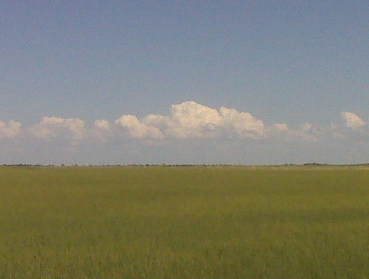
meantime, I am hanging out here watching the cumulus bubble amidst
beautiful landscape and visibility. As I type, there is a small tower
developing to my northeast, but it is removed from the best surface
convergence, so I think it’s feeding off of elevated parcels. I’ll
keep an eye out on it though.
–
Mike Umscheid Photography
http://gallery.underthemeso.com
mesomike@gmail.com
Done chasing for the day.
(Sent by Mike’s Alltel Blackberry smartphone)
Very nice, frequent CG lightning with the storm moving northeast near
Sterling and Iliff, Colorado. Not a supercell storm, but good
contrast Colorado lightning is always great for photography!
–
Mike Umscheid Photography
http://gallery.underthemeso.com
mesomike@gmail.com
(Sent by Mike’s Alltel Blackberry smartphone)
Powered by WordPress