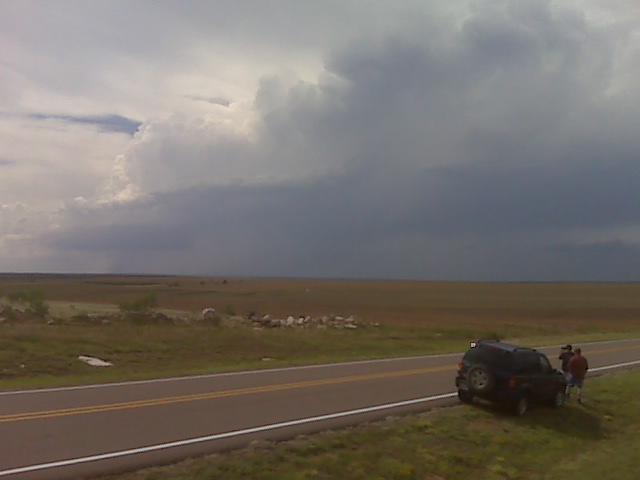
We are heading in the general direction of Amarillo. The storm we
were watching north of Silverton never amounted to anything more than
a postage stamp updraft. Nothing initiated on the meso low/dryline
bulge near Floydada. I think this is a bust now that there is nothing
out there in terms of substantial towering cu. Therefore, we are
heading to Amarillo. There is a small chance that something may form
near Amarillo on the retreating convergence axis, but that is more
wishful thinking than anything. Seeing the nice supercells on radar
right now east of Pueblo stings a little, though.
–
Mike Umscheid Photography
http://gallery.underthemeso.com
mesomike@gmail.com
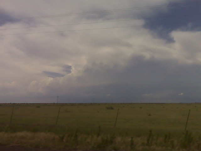
the small storm that developed northwest of silverton had lost its
steam and out of the convergence area. A more impressive convergence
area has developed near floydada with a mesolow / dryline buldge. New
sharp updraft towers have formed at this mesolow to our SSW and this
is our new target. If this fails, then another new convergence area
near Canyon may initiate as well to its north. Time will tell which
area will develop a signficant storm, if at all.
–
Mike Umscheid Photography
http://gallery.underthemeso.com
mesomike@gmail.com
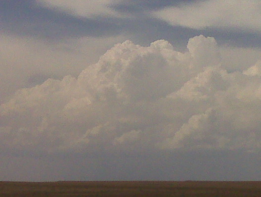
Storm is struggling to develop to our northeast from a location near BRice TX
(Sent by Mike’s Alltel Blackberry smartphone)
(Sent by Mike’s Alltel Blackberry smartphone)
Looking nw from silverton tx
(Sent by Mike’s Alltel Blackberry smartphone)
