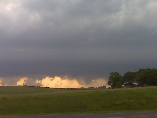
Supercell looking north fropm clarksdale missouri
(Sent by Mike’s Alltel Blackberry smartphone)
** Near-real time radar with Mike Umscheid's position along with mobile blog and photo updates! More detailed information on UTM's Live CHASE MODE here!**
status: >> August 2022 -- North American Monsoon Lightning -- Southeast Arizona Region
(this page auto-refreshes every 90 seconds)
|
....map loading, please wait...
....map loading, please wait...
|

|
-- No recent radar/chase position image. --
Mike has not been in active CHASE MODE in the past 48 hours!
== Most recent mobile blog & photo updates ==
June 7, 2009
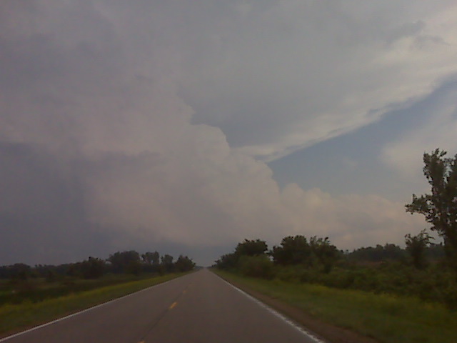
Looking wsw fro a few miles w of pawnee city ne
(Sent by Mike’s Alltel Blackberry smartphone)
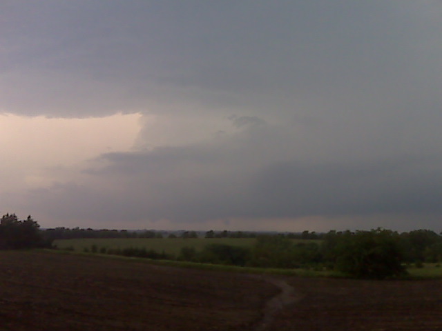
Awaiting convective development
Sitting in Beatrice NE along with matt crowther and scott bell waiting for storms to form. Very high cape/instability here just east and southeast of surface low. More later
(Sent by Mike’s Alltel Blackberry smartphone)