* *  C H A S E   M O D E  * *
** Near-real time radar with Mike Umscheid's position along with mobile blog and photo updates! More detailed information on UTM's Live CHASE MODE here!**
 status:      >> August 2022 -- North American Monsoon Lightning -- Southeast Arizona Region


(this page auto-refreshes every 90 seconds)
....map loading, please wait...


  --  No recent radar/chase position image.  -- 
Mike has not been in active CHASE MODE in the past 48 hours! 


== Most recent mobile blog & photo updates ==

June 6, 2009

Small tiered meso, 2 miles W of Odallala, BE

Filed under: chase mode updates — Mike U @ 6:56 pm

Robin Lorenson

Robin Lorenson Photography
www.robinlorensonphoto.com
660.287.0950

Updraft west of Big Springs, NE

Filed under: chase mode updates — Mike U @ 6:31 pm

Robin Lorenson

Robin Lorenson Photography
www.robinlorensonphoto.com
660.287.0950

New updraft base forming near Chappell NE

Filed under: chase mode updates — Mike U @ 6:17 pm

(Sent by Mike’s Alltel Blackberry smartphone)

Being patient

Filed under: chase mode updates — Mike U @ 6:04 pm

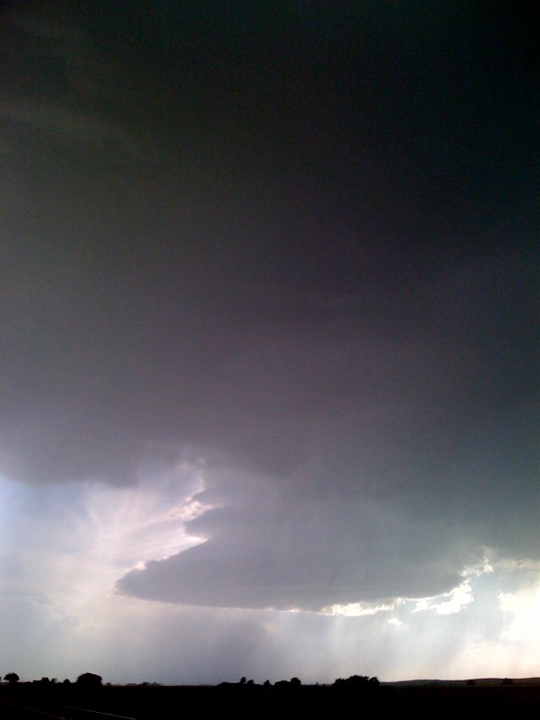
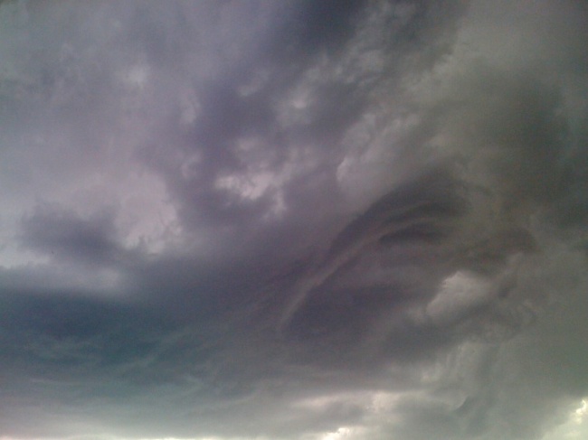
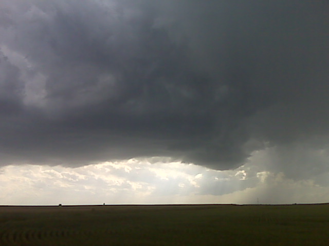
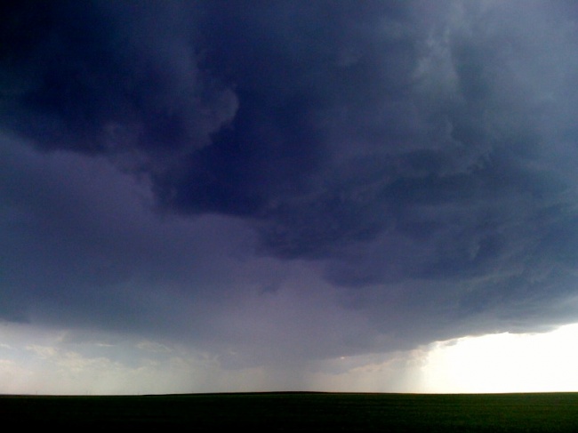
We are sitting wnw of big springs, ne first following a left-mover storm. New updrafts are forming back to the sw again w pof julesburg. I like the upstream dewpoints at LBF and MCK. If these storms can survive the next hour or so we may be in business. More later.
(Sent by Mike’s Alltel Blackberry smartphone)

Newly developed storm W of Julesburg, CO

Filed under: chase mode updates — Mike U @ 5:33 pm

Robin Lorenson

Robin Lorenson Photography
www.robinlorensonphoto.com
660.287.0950

« Newer PostsOlder Posts »

Powered by WordPress