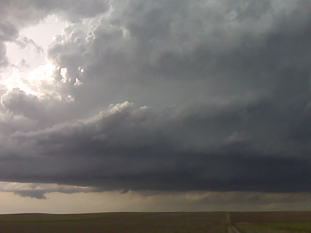
Looking north from 10 N Potter NE
(Sent by Mike’s Alltel Blackberry smartphone)
** Near-real time radar with Mike Umscheid's position along with mobile blog and photo updates! More detailed information on UTM's Live CHASE MODE here!**
status: >> August 2022 -- North American Monsoon Lightning -- Southeast Arizona Region
(this page auto-refreshes every 90 seconds)
|
....map loading, please wait...
....map loading, please wait...
|

|
-- No recent radar/chase position image. --
Mike has not been in active CHASE MODE in the past 48 hours!
== Most recent mobile blog & photo updates ==
June 5, 2009
Redeveloping supercell updraft structure
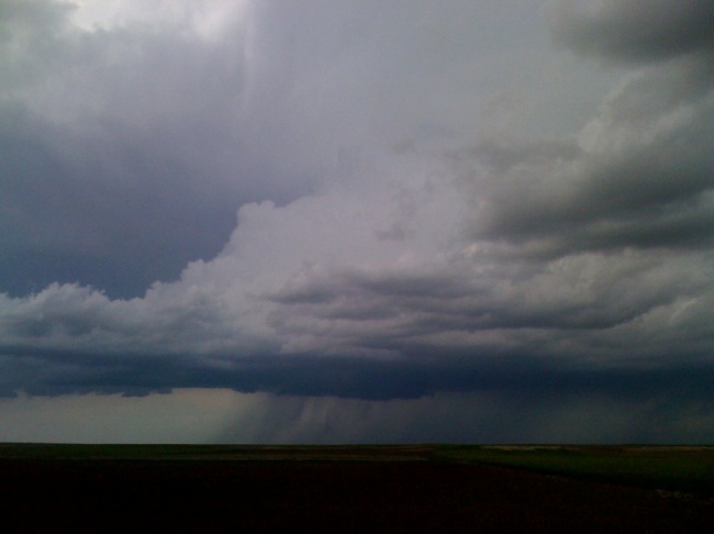
Update from the field 2330 UTC
Robin and I are watching the initial supercell weaken quite a bit to
our NNW, however a new updarft is developing rapidly to our WNW. We
are sitting on a farm road about 10 NNW of Kimball. We missed the
long-lived tornado by 30-45 minutes or so. We were just too late to
the storm. Matt Crowther reported observing the tornado for some 25
minutes. Can’t wait to see his images. We will sit here at our spot
until it becomes clear we need to make a move. As we were driving
into Kimball, though, we probably caught a glimpse of the last stage
of the tornado way off on the horizon some 30 miles away to our
northwest. We have no image documentation of this though. More later
as time permits.
–
Mike Umscheid Photography
http://gallery.underthemeso.com
mesomike@gmail.com
Classic supercell updraft and wall cloud
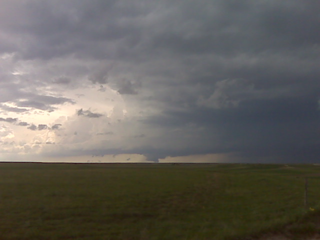
Looking nw from about 10 nnw of kimball,ne
(Sent by Mike’s Alltel Blackberry smartphone)
Chase update
Approaching tornadic supercell base/scud visible on horizon from 40
miles away.
Robin Lorenson
Robin Lorenson Photography
www.robinlorensonphoto.com
660.287.0950