On my way home following a so-so chase I saw but did not photograph the funnel pa3t of the 11nw tribune landspout tornado that occurred as I was driving n2 tribune earlier on. I ran n2 the sheriff that saw it when I was photographing another storm in horace
(Sent by Mike’s Alltel Blackberry smartphone)
** Near-real time radar with Mike Umscheid's position along with mobile blog and photo updates! More detailed information on UTM's Live CHASE MODE here!**
status: >> August 2022 -- North American Monsoon Lightning -- Southeast Arizona Region
(this page auto-refreshes every 90 seconds)
|
....map loading, please wait...
....map loading, please wait...
|

|
-- No recent radar/chase position image. --
Mike has not been in active CHASE MODE in the past 48 hours!
== Most recent mobile blog & photo updates ==
May 25, 2009
Homeward bound
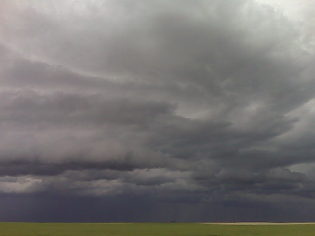
Interesting structure
Looking nw from a few miles w of tribune
(Sent by Mike’s Alltel Blackberry smartphone)
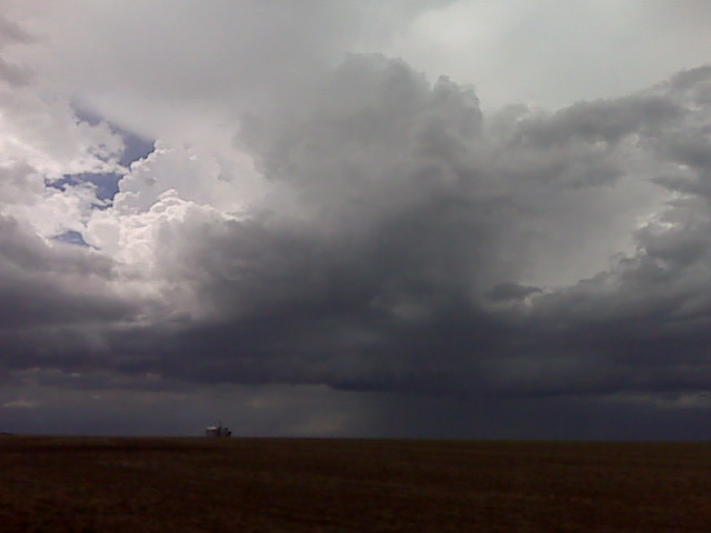
Crap-vection all quads
Before committing to home gonna check out this new updraft surge to my north
(Sent by Mike’s Alltel Blackberry smartphone)
Crap-vection all quads
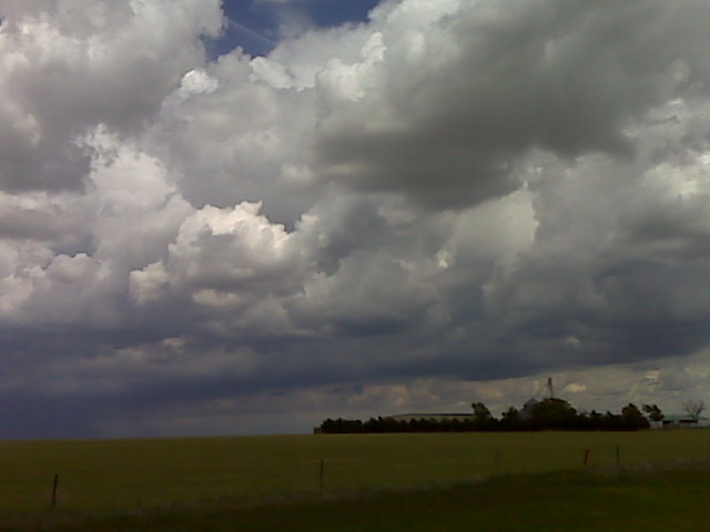
Ok that’s enuf craptastic convective fun 4 one afternoon. Gonna head home did get a couple ok images nw of tribune
(Sent by Mike’s Alltel Blackberry smartphone)