(Sent by Mike’s Alltel Blackberry smartphone)
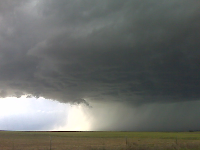
The supercell is high based but photogenic witrh another cell west of it about 30 or 40 miles
(Sent by Mike’s Alltel Blackberry smartphone)
Heading north on Hwy 287 at this time to Lamar, CO. Our updated
target is downstream of the Palmer Divide… roughly Kit Carson, CO.
I have reasonably high confidence in a decent supercell evolving off
the Palmer Divide late this afternoon/early this evening. Interesting
to note, we passed VORTEX-2 about a half hour ago, traveling in the
opposite direction… so they have obviously opted for the higher CAPE
option as discussed in the earlier forecast post. More later.
–
Mike Umscheid Photography
http://gallery.underthemeso.com
mesomike@gmail.com
We are in Amarillo this morning with two targets in mind: The outflow
boundary from earlier morning storms draped west across northwest/west
central OK into the northern TX Panhandle. This region will be
underneath a maximum in 500mb winds with the highest CAPE upwards of
3000-4000 J/kg by late afternoon. So, target “A” is east-northeast of
here into northwest OK along this outflow boundary. Target “B” is
northwest of here where storms formed yesterday along the Hwy 50
corridor around La Junta. There are northeast winds this morning in
Springfield CO and Clayton NM, but these winds are expected to become
southeasterly later this afternoon. We are torn between the two
areas, and will make a final decision by Noon as to which area to
play. Stay tuned.
–
Mike Umscheid Photography
http://gallery.underthemeso.com
mesomike@gmail.com
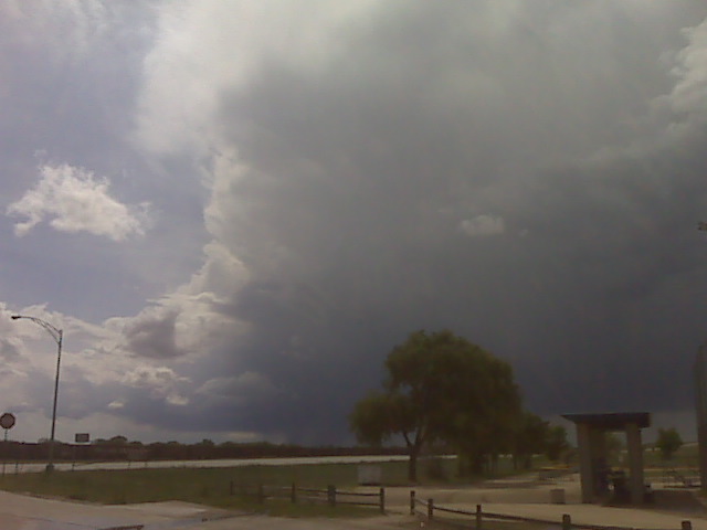
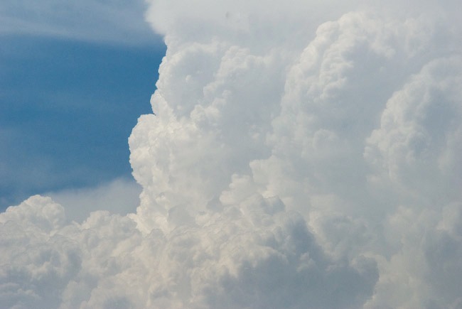
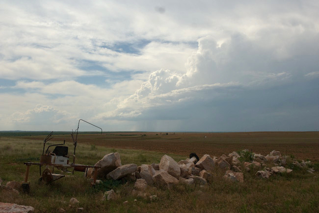
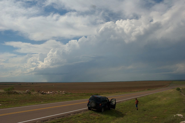
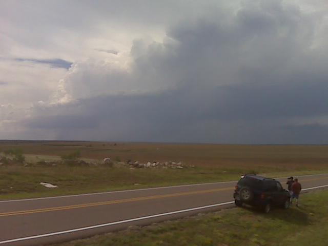
Evan Bookbinder, Jay Antle, and I decided on a chase target in the eastern TX Panhandle in favor of eastern Colorado mainly because I enjoy taking a chance every now and again, and I thought we could get an isolated beautiful supercell somewhere east of Plainview/Lubbock given the not-so-hot 700mb temps, great deep layer shear, and the nose of moderately high CAPE. The result of this decision was a bust. We were fairly excited about a storm that formed northwest of Silverton during the late afternoon hours around 4:30pm CDT or so. Unfortunately, the storm died a horrible death as it moved away from its source of convergence and into higher CIN airmass to its east. We were also watching an area near Floydada to our south where a mesolow developed. Some aggressive attempts at congested cumulus were noted, but in the end — nothing. It was sort of painful watching supercells thrive in southeast Colorado, the more obvious upslope play today. We took a gamble at something isolated and largely to ourselves (the majority of other chasers were up in Colorado) and we lost. Below are a few images if the little storm that couldn’t:
We are heading in the general direction of Amarillo. The storm we
were watching north of Silverton never amounted to anything more than
a postage stamp updraft. Nothing initiated on the meso low/dryline
bulge near Floydada. I think this is a bust now that there is nothing
out there in terms of substantial towering cu. Therefore, we are
heading to Amarillo. There is a small chance that something may form
near Amarillo on the retreating convergence axis, but that is more
wishful thinking than anything. Seeing the nice supercells on radar
right now east of Pueblo stings a little, though.
–
Mike Umscheid Photography
http://gallery.underthemeso.com
mesomike@gmail.com
the small storm that developed northwest of silverton had lost its
steam and out of the convergence area. A more impressive convergence
area has developed near floydada with a mesolow / dryline buldge. New
sharp updraft towers have formed at this mesolow to our SSW and this
is our new target. If this fails, then another new convergence area
near Canyon may initiate as well to its north. Time will tell which
area will develop a signficant storm, if at all.
–
Mike Umscheid Photography
http://gallery.underthemeso.com
mesomike@gmail.com
Storm is struggling to develop to our northeast from a location near BRice TX
(Sent by Mike’s Alltel Blackberry smartphone)
Powered by WordPress