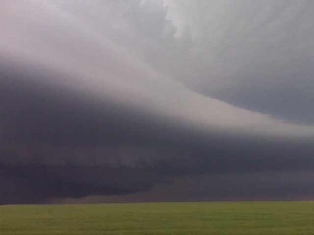
HP supercell NE of sidney nebr
(Sent by Mike’s Alltel Blackberry smartphone)
disclaimer: "The meteorological
views/forecast
thinking expressed are those solely of the author of this blog
and do not necessarily represent those of official National Weather Service forecast products,
therefore read and enjoy at your own risk and edification!"
and do not necessarily represent those of official National Weather Service forecast products,
therefore read and enjoy at your own risk and edification!"
June 5, 2009
WOW structure!!
Giant circulation!!!
Robin Lorenson
Robin Lorenson Photography
www.robinlorensonphoto.com
660.287.0950
Redeveloping supercell updraft structure
Looking north from 10 N Potter NE
(Sent by Mike’s Alltel Blackberry smartphone)
Update from the field 2330 UTC
Robin and I are watching the initial supercell weaken quite a bit to
our NNW, however a new updarft is developing rapidly to our WNW. We
are sitting on a farm road about 10 NNW of Kimball. We missed the
long-lived tornado by 30-45 minutes or so. We were just too late to
the storm. Matt Crowther reported observing the tornado for some 25
minutes. Can’t wait to see his images. We will sit here at our spot
until it becomes clear we need to make a move. As we were driving
into Kimball, though, we probably caught a glimpse of the last stage
of the tornado way off on the horizon some 30 miles away to our
northwest. We have no image documentation of this though. More later
as time permits.
–
Mike Umscheid Photography
http://gallery.underthemeso.com
mesomike@gmail.com
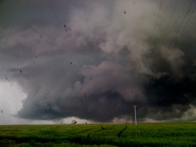
Classic supercell updraft and wall cloud
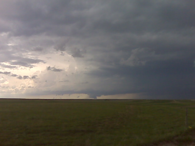
Looking nw from about 10 nnw of kimball,ne
(Sent by Mike’s Alltel Blackberry smartphone)
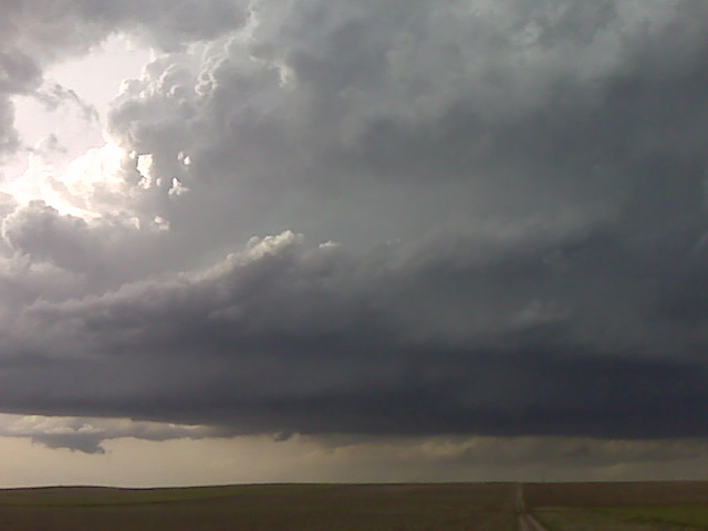
Chase update
Approaching tornadic supercell base/scud visible on horizon from 40
miles away.
Robin Lorenson
Robin Lorenson Photography
www.robinlorensonphoto.com
660.287.0950
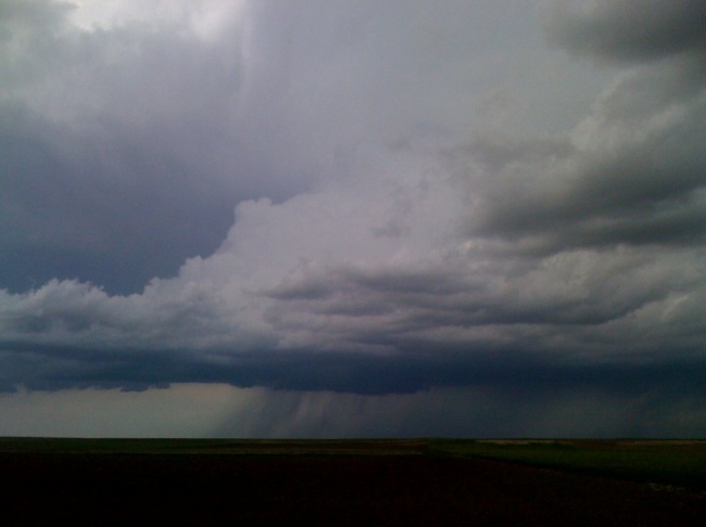
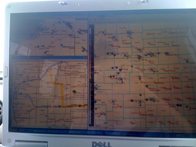
Chase Update
Heading north towards Sterling/Sidney NE. MD issued a short time ago
and am observing a CU field to North thru East in the highest moisture
axis.
Robin Lorenson
Robin Lorenson Photography
www.robinlorensonphoto.com
660.287.0950
Directions….?????
Robin Lorenson
Robin Lorenson Photography
www.robinlorensonphoto.com
660.287.0950
June 4, 2009
Chase Fcst: June 5, 2009 (Sidney, NE to Sterling, CO)
June 5 will be the first of a 3-day weekend chase with my friend Robin Lorenson. I met up with her this evening in Salina and we will depart at around 8:00am heading west on I-70 to Burlington then likely north toward our mid-late afternoon target of Sidney to Sterling. It looks like a fantastic setup for supercell thunderstorms with at least mid 50s dewpoints advecting west-northwestward toward the Cheyenne Ridge. Elevated heating and orographic lift with east-southeast winds will be more than sufficient to aid in thunderstorm development. CAPE will likely exceed 2000 J/kg downstream of the high-terrain development, and the plan is to intercept storms as they develop/coalesce into supercell structures sometime around or after 21-22z… at least that’s the plan! There could be quality chasing/photography well into the evening so a late night may be in order. We will likely settle for the night somewhere along I-76 or I-80. Saturday, June 6 chase area will likely setup in the same general area, perhaps a shade farther east or northeast along I-80 corridor. Sunday could be yet another good day in broad southwest flow aloft around western Nebraska or northeast Colorado. The surface front farther southeast could be another potential play, which would be much closer to central Kansas where we would have to end up at the end of Sunday’s chase.