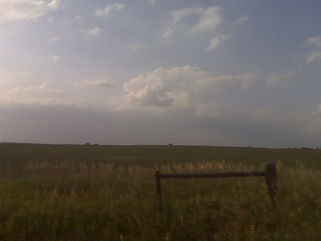
Monitoring mushy cumulus towers struggling against the cap near the ks-neb border shortly after 7pm
(Sent by Mike’s Alltel Blackberry smartphone)
disclaimer: "The meteorological
views/forecast
thinking expressed are those solely of the author of this blog
and do not necessarily represent those of official National Weather Service forecast products,
therefore read and enjoy at your own risk and edification!"
and do not necessarily represent those of official National Weather Service forecast products,
therefore read and enjoy at your own risk and edification!"
July 9, 2009
Small mushy towers
in vicinity of strongest convergence and heat axis… but oh that cap
There is a northeast to southwest oriented fine line evident on
Hastings radar that extends from just east of Holdrege to east of
Kearney. Both HDE and EAR have either a calm wind or light northeast.
Southeast of this fine line, winds are southeast around 12 to 15
knots…so the convergence axis is here. Cumulus is most clumped in
this area just to my north and northwest of where I am sitting, which
as of 530pm CDT was ~ 4 ESE of Upland in northeastern Franklin County,
NE. I’m going to sit here, as I believe this is the best spot if
anything at all is going to develop at the nose of the mid 90s thermal
ridge. I give it about 10% chance of initiation. At least there’s a
cu field with some bases…but man they are not towering… at least
not now at 5:30pm. I’ll give it about an hour and a half, maybe two
hours max… if nothing forms, I’m heading to McCook for the night
more than likely.
–
Mike Umscheid Photography
http://gallery.underthemeso.com
mesomike@gmail.com
thinking about dropping south toward the lower-mid 90s temps
The cap is strong. Hence, for surface based storms, need to find mid
90s temps to break the cap + the convergence. Nose of lower to mid
90s heading up toward Concordia to Red Cloud… and the most agitated
cumulus, if you even want to call it agitated, is to my south at the
nose of this heat. If there is going to be a quality surface based
storm, it will have to be at the nose of this Kansas thermal nose…
and I dont think it will get much farther north than about Hastings or
so, so I’m going to head south county… plus I want visual on this cu
field… since where I am at right now, the cumulus is flat and
essentially covering the sky. Hoping for the best…
–
Mike Umscheid Photography
http://gallery.underthemeso.com
mesomike@gmail.com
mid-afternoon update 7/9
I am sitting at a rest area along I-80 near Grand Island. I am going
to wait here for awhile I think — there is an outflow boundary just
to my east and northeast which is intersecting the stationary front
north of Grand Island. The best convergence is right around here and
north of here. The cu is not very agitated, although it’s not even
3pm yet, so there is still a lot of time for things to change. My gut
tells me this is going to end up being a cap bust, but the old outflow
boundary is helping enhance convergence, so you never know. It’s
going to go late if it does at all… like 6 or 7 pm probably.
–
Mike Umscheid Photography
http://gallery.underthemeso.com
mesomike@gmail.com
chase 7/9 target: choosing Nebraska
I’ve just perused the latest data and model guidance, and I am
choosing Central Nebraska over northeast Colorado. There is a
mid-level wave moving into Colorado right now, and by evening it will
likely be positioned across far southwest Nebraska…which will put
central nebraska into a favorable region for deep upward vertical
motion along the stationary front. I think the most aggressive storms
will form ahead of this mid-level wave in better deep lift — not
behind it… and northeast Colorado should be behind this feature by
00z (implying subsidence). I am going to head to Kearney, NE –
arriving there by early afternoon. more later
July 9 target update
7:30am cdt. I am still absolutely torn 50/50 between two targets:
Northeast Colorado vs. Central/Northeast Nebraska. Both locations
will have excellent shear — both will have very good if not excellent
moisture/instability. I was leaning Central/Northeast Nebraska when I
woke up a couple hours ago, but now I am back to 50/50. I think what
I will do is drive to Wakeeney and make the decision there at about
9:30 to 10:00am or so after assessing the new 12z NAM model. The main
question regarding the Colorado target is how far west the good
moisture can make it prior to 03z. Surface obs are showing mid 60s
dewpoints at both burlington, CO and goodland, KS… with a 68
dewpoint at Imperial, NE! Granted, the cold front will continue to
shove this moisture south, but by midday, the winds will become
easterly again — pulling this good moisture back into northeast
Colorado. I think the 00z to 03z time frame…right around sunset
especially… could be very rewarding somewhere northeast of Limon.
That looks really tempting. I think this is a conditional play,
though. Colorado chasing is such a wildcard many times. The
Central/Northeast Nebraska target is a bit more confident — regarding
substantial severe storms along the stalling out front. Questions
here center around the photographic nature of the storms. Given upper
60s to near 70 dewpoints, will the storms in eastern Nebraska be very
photogenic? I am a photographer, so I seek high contrast and good
visibility — hence my love for Colorado storms! I’ll leave for
Wakeeney, KS here shortly after 8am.
July 8, 2009
Chase Day, Thursday July 9th.
Chasers: Mike Umscheid (solo). Target: Two targets are in mind late
this evening. Primary target is northeast Colorado in favorable moist
upslope. Secondary target is the front itself across central/southern
Nebraska where 4000+ J/kg CAPE will exist with adequate mid-upper flow
for supercells. The decision on which target to chase will be made
early Thursday morning.