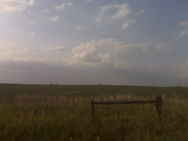
Looking northeast
(Sent by Mike’s Alltel Blackberry smartphone)
disclaimer: "The meteorological
views/forecast
thinking expressed are those solely of the author of this blog
and do not necessarily represent those of official National Weather Service forecast products,
therefore read and enjoy at your own risk and edification!"
and do not necessarily represent those of official National Weather Service forecast products,
therefore read and enjoy at your own risk and edification!"
July 10, 2009
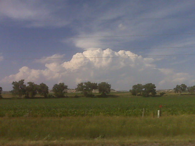
Target storm near harrison nebr
lets drive back and forth
I left the area I was sitting at near CYS for fears of the Wheatland
and northern Goshen county area going up… and there were very nice
attempts at convective initiation… so I bolted north. Now I am in
Wheatland and these attempts to my north were suckers… well at least
for now. I am watching fairly hard towers, the first attempt already
glaciated up in far northern Goshen county. Now, it would appear,
visually, that the area back to my south…closer to where i was
earlier…is starting to tower fairly hard. I will either head
northeast to Ft. Laramie along hwy 26 from this point…or retrace my
steps back south on I-80. Not sure what to do quite frankly, so I’ll
wait it out for a little bit I guess here in Wheatland.
–
Mike Umscheid Photography
http://gallery.underthemeso.com
mesomike@gmail.com
Small tower NW
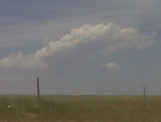
Already a small attempt at a tower. Good sign for this time of the afternoon!
(Sent by Mike’s Alltel Blackberry smartphone)
Incipient cu field
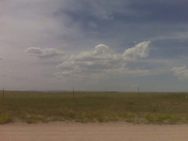
Looking w from just northwest of CYS at 150p mdt
(Sent by Mike’s Alltel Blackberry smartphone)
early afternoon update 7/10
Currently in Cheyenne as of 12:30pm mountain time… just finished
lunch and plan to head north of town just a bit along I-25, hang out
and watch the sky for awhile. I may end up drifting all the way to
Cheyenne. Very warm 700mb temperatures reside just south of Cheyenne
with the 700mb baroclinic zone from Cheyenne northward. Winds are now
light southeast here in Cheyenne, so the 60s dewpoints will be
creeping west toward me. Anything that forms off the Laramie Range
will not take long to suck in the real good moisture. The RUC has
consistently been generating convective QPF on each of the hourly runs
valid later this afternoon/evening… so there’s hope. More later.
–
Mike Umscheid Photography
http://gallery.underthemeso.com
mesomike@gmail.com
Chase Acct: July 9, 2009 (South-Central NE)
This was a bust. No storms developed in the target area. I actually had two target areas, and even the secondary target area failed to produce a supercell storm… so I’m really not all that disappointed. My primary target was the slowly moving front across Central Nebraska. A couple versions of the NAM and even RUC models hinted at possible convective initiation along the boundary in central Nebraska, and per model soundings, if surface temperatures reached 95 degrees up along this front, there would be a shot. Well, the warmest temperatures I saw on obs as well as per my car’s thermometer, the temperature in the vicinity of maximum convergence along the front never got much above 91 or 92. The mid level temperatures were simply too warm. When the cumulus looked at flat as they did for so late in the afternoon, I knew I was in trouble, and it would take a miracle for something to grow into substantial, hard towers and even further into a storm. The cumulus field did become a little agitated by 5:30 to 6:30pm where I was sitting at southeast of Minden, Nebraska, but it never got beyond that point. At 7:30pm, I called it quits and headed west toward McCook to set up for Day-2. Below is one photo I did take of some high level virga that crossed the area around sunset:
July 9, 2009
Bustola. Heading to McCook
It’s 7:30, nothing has happened with this cu field, so I am waving the
white flag on this chase day. Heading to McCook for the night.
Hopefully better luck tomorrow on the High Plains!
–
Mike Umscheid Photography
http://gallery.underthemeso.com
mesomike@gmail.com
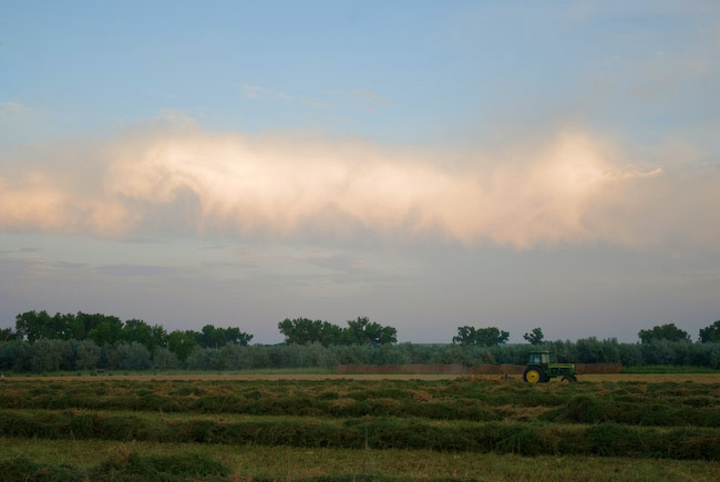
Small mushy towers
Monitoring mushy cumulus towers struggling against the cap near the ks-neb border shortly after 7pm
(Sent by Mike’s Alltel Blackberry smartphone)
in vicinity of strongest convergence and heat axis… but oh that cap
There is a northeast to southwest oriented fine line evident on
Hastings radar that extends from just east of Holdrege to east of
Kearney. Both HDE and EAR have either a calm wind or light northeast.
Southeast of this fine line, winds are southeast around 12 to 15
knots…so the convergence axis is here. Cumulus is most clumped in
this area just to my north and northwest of where I am sitting, which
as of 530pm CDT was ~ 4 ESE of Upland in northeastern Franklin County,
NE. I’m going to sit here, as I believe this is the best spot if
anything at all is going to develop at the nose of the mid 90s thermal
ridge. I give it about 10% chance of initiation. At least there’s a
cu field with some bases…but man they are not towering… at least
not now at 5:30pm. I’ll give it about an hour and a half, maybe two
hours max… if nothing forms, I’m heading to McCook for the night
more than likely.
–
Mike Umscheid Photography
http://gallery.underthemeso.com
mesomike@gmail.com
thinking about dropping south toward the lower-mid 90s temps
The cap is strong. Hence, for surface based storms, need to find mid
90s temps to break the cap + the convergence. Nose of lower to mid
90s heading up toward Concordia to Red Cloud… and the most agitated
cumulus, if you even want to call it agitated, is to my south at the
nose of this heat. If there is going to be a quality surface based
storm, it will have to be at the nose of this Kansas thermal nose…
and I dont think it will get much farther north than about Hastings or
so, so I’m going to head south county… plus I want visual on this cu
field… since where I am at right now, the cumulus is flat and
essentially covering the sky. Hoping for the best…
–
Mike Umscheid Photography
http://gallery.underthemeso.com
mesomike@gmail.com