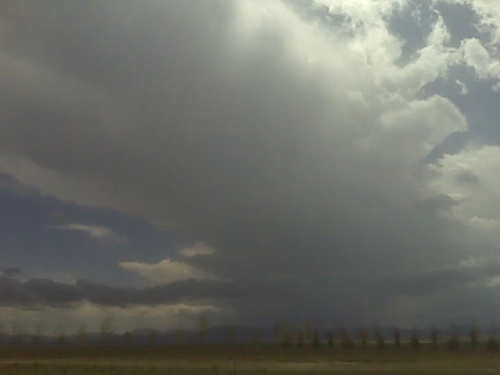
I am at the Dwyer junction just north of wheatland storms are trying to get organized over tha mountains to my west thru southwest. Great southeast winds here!
** Near-real time radar with Mike Umscheid's position along with mobile blog and photo updates! More detailed information on UTM's Live CHASE MODE here!**
status: >> August 2022 -- North American Monsoon Lightning -- Southeast Arizona Region
(this page auto-refreshes every 90 seconds)
|
....map loading, please wait...
....map loading, please wait...
|

|
-- No recent radar/chase position image. --
Mike has not been in active CHASE MODE in the past 48 hours!
== Most recent mobile blog & photo updates ==
May 21, 2010
Storms developing west of wheatland WY
Chase update
Time: 3:05 PM, Mountain Time.
Heading north to Wheatland. Storm’s over Laramie Mountains. Persistent development, south south west of Douglas. Will monitor from Wheatland and continue to watch things unfold over the mountains as storms continue to percolate and eventually move out into the plains.
More later.
[ Transcribed by MyCaption ]
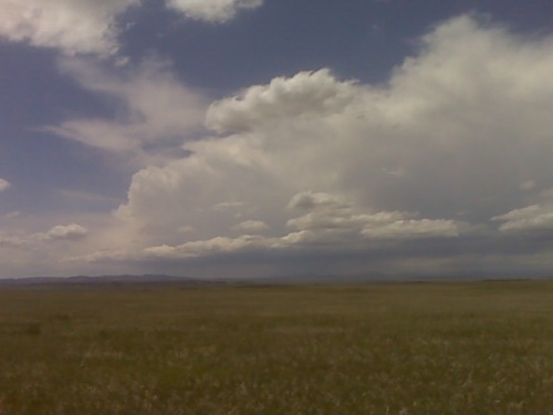
chase update 5/21 215pm
Sitting in Torrington Wyoming at 2:15pm CDT. I think I’m in a pretty
darn good area here, mountain convection has already formed in the
Laramies northwest of Cheyenne and southwest of Douglas. I may drift
south and west and find a high spot with digital cell signal and watch
things unfold to my west. Lower 50s dewpoints will be impinging on
extreme southeast Wyoming over the next couple of hours, which should
yield around 1500 to 1800 J/kg CAPE. Deep layer shear profile is just
about as good as you can expect for supercells with 500mb southwest at
around 45 to 50 knots and low level flow increasing from the southeast
at 15 to 20 knots. short-term RUC convective QPF signals make pretty
good sense to me. There should be one or two nice supercells between
Lusk and Pine Bluffs by 00z… or at least that’s the hope.
May 12, 2010
Chase update
Time 8:48, 5/12. Chases over. Failry wild day. Massive HP supercell tracked near Cordell later in the evening. Almost produced a tornado. Some fairly amazing structure. Although, again, no tornado. Heading through Weatherford.
[ Transcribed by MyCaption ]