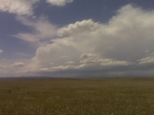
Over the laramie mountains west of chugwater wyoming
disclaimer: "The meteorological
views/forecast
thinking expressed are those solely of the author of this blog
and do not necessarily represent those of official National Weather Service forecast products,
therefore read and enjoy at your own risk and edification!"
and do not necessarily represent those of official National Weather Service forecast products,
therefore read and enjoy at your own risk and edification!"
May 21, 2010
2 Comments »
RSS feed for comments on this post. TrackBack URL
Mig, if you happen to end up in Ft. Collins make sure to grab a Big City Burrito and a Fat Tire!
Comment by DrG — May 21, 2010 @ 3:42 pm
Ure in the right place. Keep the faith. All the yahoos should be further south. Nice theta-e axis coming up through Scottsbluff into eastern WY with cold 500mb temps and strong upper jet closeby. Could see some awesome storm structure this evening.
Comment by Jonathan Finch — May 21, 2010 @ 4:06 pm