(Sent by Mike’s Alltel Blackberry smartphone)
(Sent by Mike’s Alltel Blackberry smartphone)
(Sent by Mike’s Alltel Blackberry smartphone)
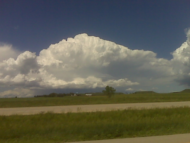
I am currently sitting east of Hettinger, ND along the North
Dakota/South Dakota border along Hwy 12. There is a weak surface meso
low near Hettinger at this time, and the NAM and RUC models suggest
surface-based convective initiation near this meso low by
mid-afternoon. Fairly decent 700-500mb cold advection into western
North Dakota today, so storms are almost a given. It’s a matter of
deciding which one to chase. I think storms will eventually form
farther south into northern South Dakota by late this afternoon/early
evening, and I will have to keep an eye out for that. In the
meantime, I am hanging out here watching the cumulus bubble amidst
beautiful landscape and visibility. As I type, there is a small tower
developing to my northeast, but it is removed from the best surface
convergence, so I think it’s feeding off of elevated parcels. I’ll
keep an eye out on it though.
–
Mike Umscheid Photography
http://gallery.underthemeso.com
mesomike@gmail.com
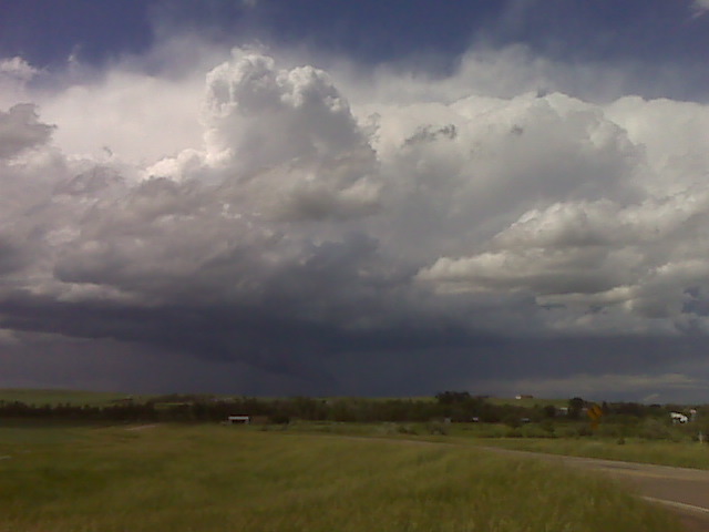
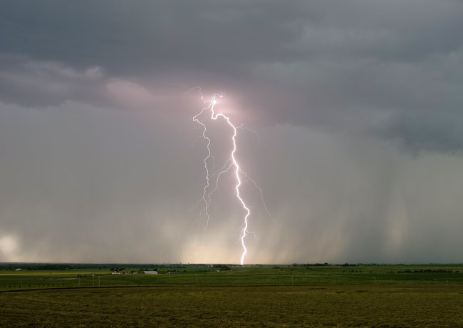
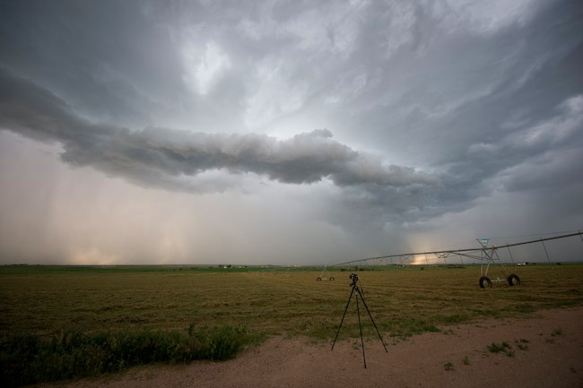
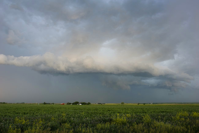
Lightning and Non-Severe Storm Structure from Iliff to Sedgwick, Colorado
Here are a couple images from June 21st chase. The color contrast was beautiful, and I managed to get a few decent daytime CG’s with the lightning trigger. No time for a report since I have to hit the road for today (June 22nd) chase.
Done chasing for the day.
(Sent by Mike’s Alltel Blackberry smartphone)
Very nice, frequent CG lightning with the storm moving northeast near
Sterling and Iliff, Colorado. Not a supercell storm, but good
contrast Colorado lightning is always great for photography!
–
Mike Umscheid Photography
http://gallery.underthemeso.com
mesomike@gmail.com
(Sent by Mike’s Alltel Blackberry smartphone)
I drove all the way west to Greeley, CO where I had lunch at a mexican
restaurant, since Weld County, CO was my target. I am disappointed
that the lower/mid 50s dewpoints had mixed out into the lower to mid
40s in my target. This is frustrating and led me to believe I was too
far west as the showers coming off the mountains were extremely
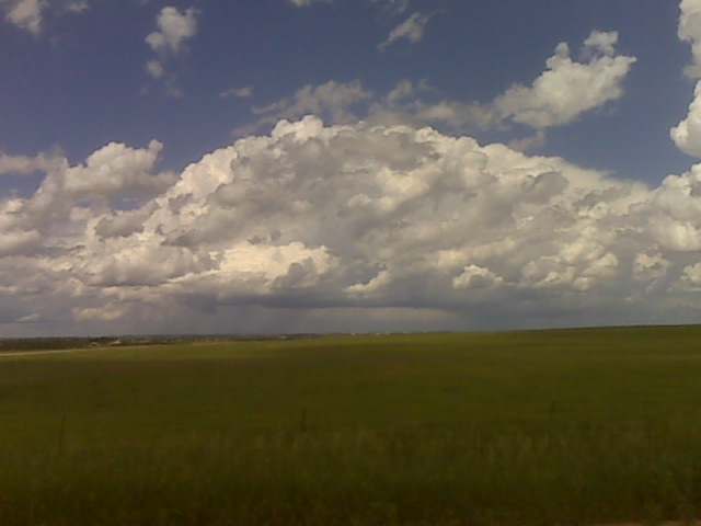
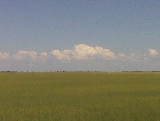
un-appetizing. I then noticed a congested Cu field some 80-100 miles
to my east… across extreme northeast Colorado. Since this was
closer to the better moisture, I figured this was now the best target.
As I was driving east on I-80, I had been keeping a close eye on this
cu field both with my eye balls and on 1km visible satellite. Looking
in my rear view mirror, cumuls was getting taller in altitude and
glaciating at a higher altitude as well…suggesting perhaps better
future development. So I am hedging both plays by hanging in between
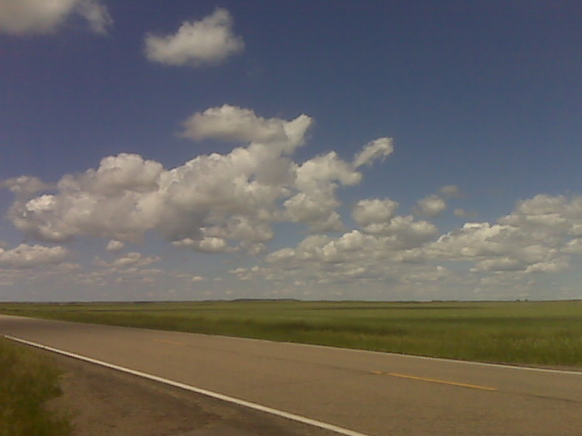
the Cheyenne developing convection and the Julesburg Cu field. The
Julesburg cu field is in negligible surface convergence/forcing while
the Cheyenne stuff had the advantage of much better elevated heating
and closer to the nose of the mid level jet. Hence why the storms had
already developed… the problem is the crappy moisture with
surface-based CAPE less than 1000 J/kg. I’m gonna sit here in
Kimball, NE and just let the atmosphere tell me where to go next based
on my visual observations in the cumulus development.
–
Mike Umscheid Photography
http://gallery.underthemeso.com
mesomike@gmail.com
Powered by WordPress