disclaimer: "The meteorological
views/forecast
thinking expressed are those solely of the author of this blog
and do
not
necessarily represent those of official National Weather Service
forecast products,
therefore read and enjoy at your own risk and edification!"
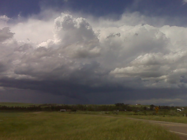
Are you considering chasing Tuesday near Cheyenne? I am actually tempted to go but I probably will not. The 0-6 km shear is good and directional turning is good. The storm should move into fairly high dewpoints in the evening. Im not sure if there will be sig tors or not. The low to mid level wind speeds are marginal. But if youre up there it is definitely worth a shot. You never know you could witness a mesoscale accident.
Are you considering chasing Tuesday near Cheyenne? I am actually tempted to go but I probably will not. The 0-6 km shear is good and directional turning is good. The storm should move into fairly high dewpoints in the evening. Im not sure if there will be sig tors or not. The low to mid level wind speeds are marginal. But if youre up there it is definitely worth a shot. You never know you could witness a mesoscale accident.
Comment by Jonathan Finch — June 22, 2009 @ 4:59 pm