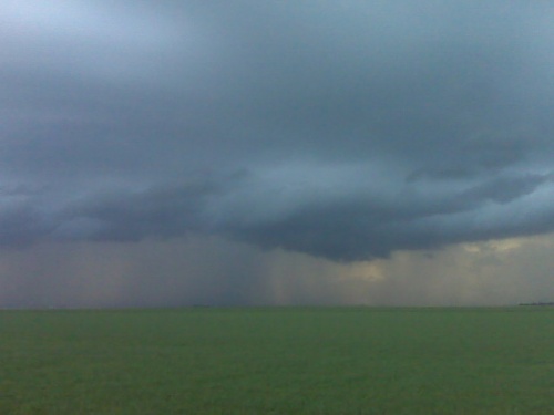
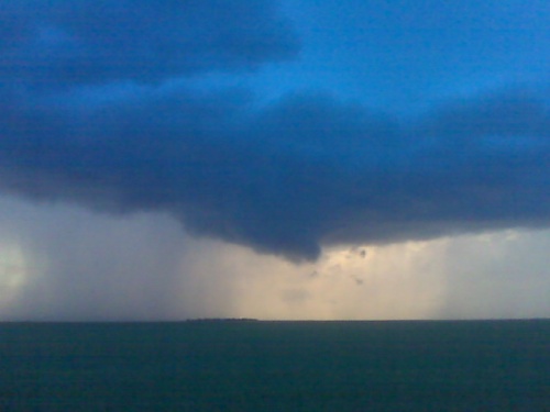
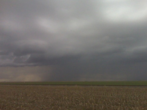
first chase of the season — non-severe storms, Gove County, Kansas
My first attempt at a long-winded chase account was just erased after 30+ minutes of writing, and I’m not up to re-writing it… the upshot of it was that I chased quasi-linear multicell storms, of the non-severe variety, late in the evening on Thursday, April 15th. I intercepted the storms just northwest of Quinter before heading south again on various farm roads of eastern Gove County. The best images came around 8:15pm or so…
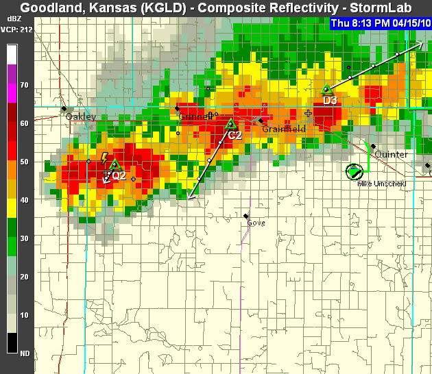
…around the time of sunset when I photographed beautiful colors with a cloud-base lowering present associated with the strong updraft (with cell “D3″ in the above radar image). After the colors waned, I headed farther south on more county roads approaching Hwy 4. The chase was pretty much over by that time as the storms had no more photographic interest due to weakening and no ambient light left. Images below! (NOTE TO SELF: next time, draft your write-up in Wordpad, not the WordPress blog post window!!! Ugh.)
This SimpleViewer gallery requires Macromedia Flash. Please open this post in your browser or get Macromedia Flash
here.
This is a
WPSimpleViewerGallery
Test. I am testing my new Blackberry voice-to-text messaging application for mailing storm chasing application since I do a lot of solo storm chasing. The tornado was reported 5 to 10 minutes ago to the north-northeast of Garden City and it is heading towards Calvista. Again, this is just a test. Bye.
[ Transcribed by MyCaption ]
Camera phone doesn’t do it justice at all. Photos from my Nikon will b far superior obviously
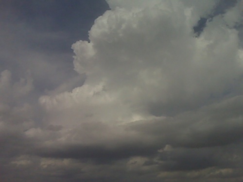
on an outflow dominant storm trying for some remaining daylight
lightning photography near one of the rain shafts… hopefully a
somewhat tiered shelf cloud can form, but nothing much yet… the
storms have developed as far southwest as western gove county… but
still remaining sub-severe.
Looking northwest from just northwest of quinter ks
I am between scott city and dighton. I had just about given up on the
scott city area as the cumulus were just struggling to ascend deep
into the troposphere…so I started heading east on Hwy 4 closer to
ongoing weak storms north of Wakeeney. Upon reaching Healy, I noticed
new development on radar to the west-southwest of Scott City. So I am
now about halfway between the two areas of interest. There’s a small
congestus clump to the north-northeast that keeps going up and down,
so I’m just going to sit here for a little bit I think along hwy 4
until it becomes more clear which area to commit to. -mike u
Sitting just outside of scott city watching a weak shower develop and weaken.. But more towering cu are developing in this area and to the west and southwest… 18z NAM continues to suggest that this area will develop marginally svr storms by 00z (7pm).
Small updraft tower looking northeast from scott city ks
Tjhis is a test message emailing to my blog from the road. Would love to be seeing sme storms right now! TEST. Tornado just observed but brief about 5 mins ago to near hodgeman ford county line TEST!!