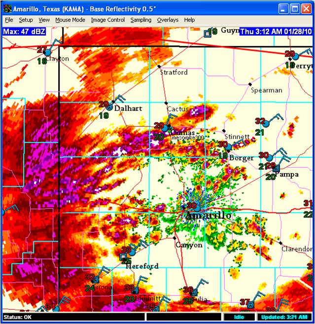
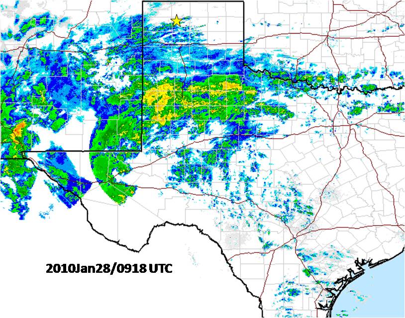
Sleet showers moving through right now at 29 degrees… but look what’s coming! Well, I managed a little under 3 hours of sleep, LOL. After this blog post, I’ll try to catch about 3 more before the snow starts. I haven’t talked too much about the wind component of this storm, but there will be at least enough to cause moderate blowing and drifting this afternoon. The surface low will be too displaced to the southeast and the Canadian surface ridge axis will also be a little too close to the northern Panhandles for major wind, but during the height of the storm this afternoon, with the heaviest precipitation rates, the winds will be at their strongest. 850mb winds off the NAM12 model will peak at about 21z around 30 knots or so over Dumas, so it’s conceivable we will see frequent 30 knot gusts here for at least 2 or 3 hours this afternoon. This gets pretty close to blizzard criteria, and since this will be happening during the highest snowfall rates, I expect visibility to fall below 1/4 of a mile rather frequently between around 2pm and 5pm. 12-15″ storm total snow still looks to be on target for Dumas, so long as we are not sleeting anytime after 7am, because that will then start the clock on limiting snowfall amounts… and based on all the model guidance of the warm layer aloft, I don’t see that happening for here in Dumas. We’ll see how good the models are.

