Forecast:
Vince Miller and I are in Miles City, Montana this morning awaiting what could be a fantastic supercell day here around Miles City or south of here towards Broadus, MT. Lower to mid 60s dewpoints are streaming westward on east winds this morning north of a surface low over Wyoming. Mid and upper level winds are very good for this time of year and are more than adequate for supercells.. in fact perhaps a long-lived, significant supercell capable of greater than 3" diameter hail and/or (a) tornado(es). We’ll see. The road network is fairly sparse out over this area, however, the visibility somewhat makes up for this deficiency… you can see forever out here. They were right in calling Montana "Big Sky Country". After today’s chase… we will have to get east as tomorrow could be another potentially big severe weather chase day in North Dakota… more than likely east of Bismark. I will have no mobile internet access today where we are expecting to chase, so I will not have the website in "virtual chase" mode.
EDIT at 1:45pm CDT: I lied… I’ll go ahead and put the site in "virtual chase mode" since we will be along I-94 for awhile with internet coverage… however, once storms go up and (if) we leave the interstate, then the coverage will be gone over the rest of the expected chase area… so if the radar graphics stop updating, that’s why.
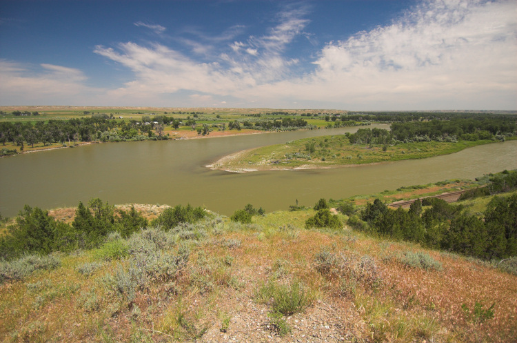
EDIT at 2:30pm CDT: We are stopped at a rest area on I-94 about 25 miles west of Miles City to a wonderful vista view overlooking the Yellowstone River. If anything develops within 100 mile radius of us.. we’ll see it! What a view!