Sunday was another out-and-back trip. I decided on yet another spontaneous chase after pseudo monitoring the situation while doing some other things during the afternoon. It looked like there was a convergence max in the surface wind field near Beaver, OK, and with quite good deep layer shear and adequate moisture + instability (despite it being near 100 degrees to achieve this instability), I quickly gathered my gear and set out south to Englewood, KS (again, much like yesterday!). There were several small storms developing to my southwest, and it took awhile for a supercell to be born out of this bunch. Once I reached ~ 5 miles south of Laverne, I headed west on Hwy 270 to intercept the base of what would become the "Booker" supercell. After heading west 20-25 miles, I dropped south to Darrouzett, TX, and this was really when I could get a good visual on the storm’s updraft. I noted a big mass/column of dust near the updraft area. I saw a storm chaser, Steve Miller, on the SpotterNetwork located very near this area, so I called him to find out what was up with this huge area of concentrated dust. This area was showing diffuse rotation, but nothing really all that tornadic.
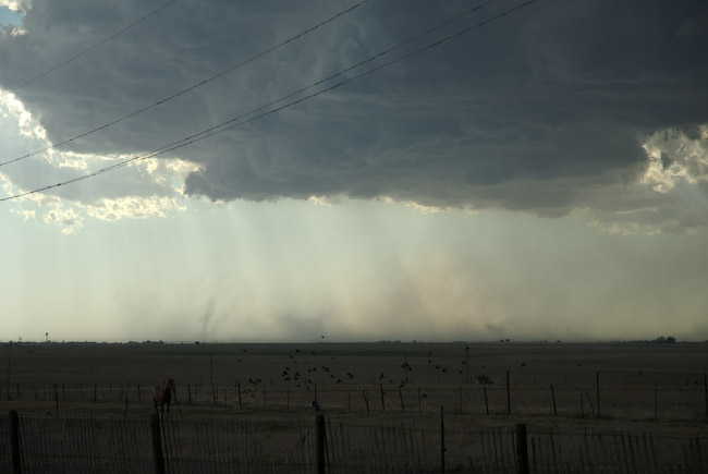
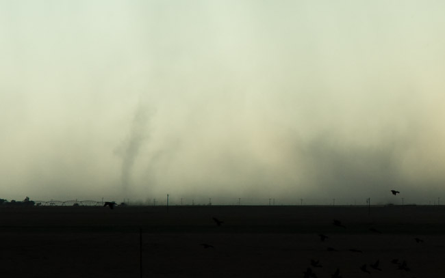
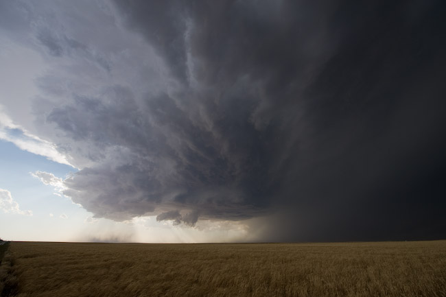
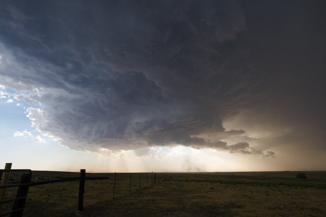
Just before I reached Booker, TX, I saw a very focused, translucent vortex tube in the dust. For a very brief time, there was a miniature dusty "debris cloud" looking thing right below this translucent dust tube. Thinking that this could have been a small tornado, I pulled over and took a couple photos. Not sure exactly what to call this, but it could certainly be argued that it was a very brief, very small tornado. This was the only tornadic-like action I observed in the dust, although the whole time, I remained well to the east and southeast of this activity — I was more interested in the storm structure for photography purposes. This was a well-sculpted high-based supercell with rather meaty updraft structure — including a few wall clouds. I followed this south on Hwy 23 south of Booker. At times I had strong easterly inflow winds around 35 mph blowing into this storm. Around 7:30 or so, the storm was beginning to show signs of decreasing in intensity. I wasn’t all that interested in continuing south, since I had to be back to Dodge for my next midnight shift. I blew off the storm and headed back north through Booker and Beaver up to Meade.
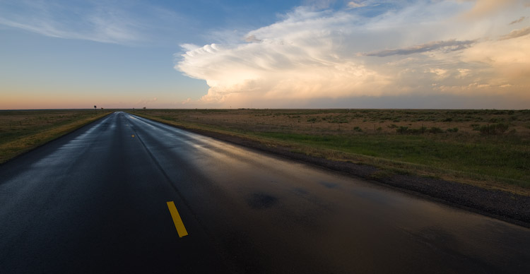
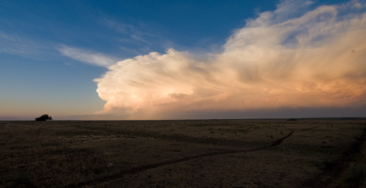
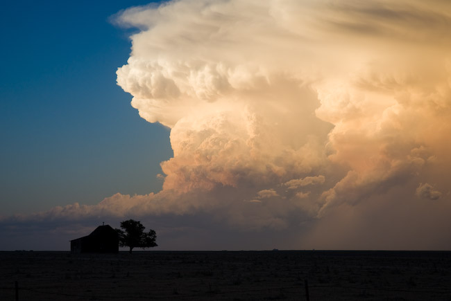
The drive on Hwy 23 in Meade County, KS was spectacular, as two storms to my northeast were on a collision course near Dodge City. The "Golden Hour" photography light was just phenomenal — incredible contrast and color all around. The Cb’s to the northeast were glowing orange-gold with rock-hard convection and a fantastic downstream anvil. This was all more or less bonus material at this point, as my main goal at this point was just to get back home. I stopped a few times to take advantage of this moment with the camera. After the sun set, this storm finally met its demise, and I made it back to Dodge around 10:15pm or so.
Great pics as always!
Comment by Rachel Regier — June 19, 2008 @ 4:01 pm