June 19, 2008 — Picturesque Severe Storms; Weld County, CO to near Sidney, NE
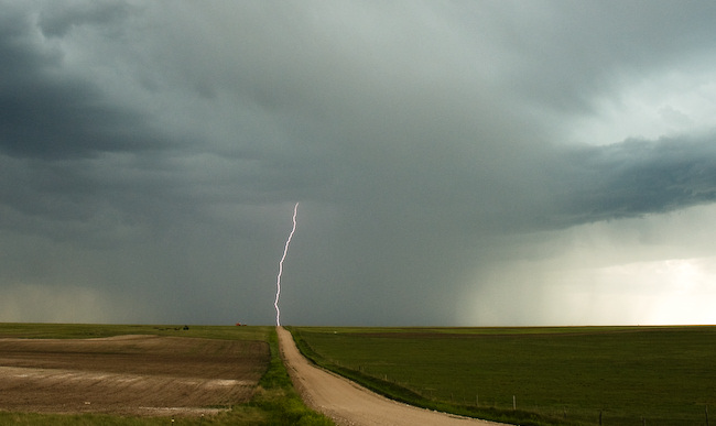
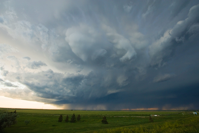
Vince and I started the day in Colby, KS with a target of the southwestern Nebraska Panhandle in mind. We anticipated storms forming off the Laramie mountains west and northwest of Cheyenne. This indeed happened as forecast. The first storm we chased was one which developed just north-northwest of Fort Collins. This was initially a storm with supercell characteristics on radar as we were driving toward it… another one of those "left moving" supercells. The main storm updraft kept moving/developing to the northeast against the west-northwesterly flow aloft. We intercepted this storm in far northeastern Weld County only a few miles south of the Nebraska border. The contrast and colors were pretty good, and I managed to capture a couple cloud-to-ground lightning flashes to the west. Eventually, this storm weakened and became a bit more "messy" on radar (and visually). We continued east for quite some distance along County Route 78. One thing that was striking was the gigantic wind farm that extends west to east along the crest of the Cheyenne Ridge in this area (Peetz Wind Power). Once we reached Hwy 113 (which turns to Hwy 19 in Nebraska), we continued north to Lorenzo and monitored a fairly well structured, but very small updraft base to the west. It was eventually severe thunderstorm-warned based on one report of Golfball size hail.
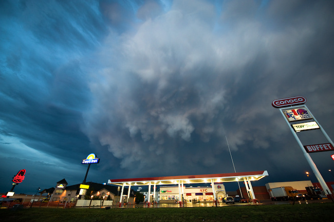
We continued on into Sidney and east on I-80, reaching exit 69 where we watched our Lorenzo storm die a rapid and ugly death before our eyes. However, new severe storms were rapidly developing off to the north through northwest. We sat atop the overpass at exit 69 for quite awhile monitoring both storms. Eventually, the southeast moving marginal supercell (taking aim on Sidney) came into view. Vince captured some pretty good time lapse since we sat at this location for quite awhile. As the storm became west-northwest of us, the light got a lot better and we could see structure quite a bit better. Not the best storm structure by any stretch, but the color contrast was clean and very photographically-friendly. Some large bulbous shaped mammatus developed which was great to capture on the 14mm wide angle lens.
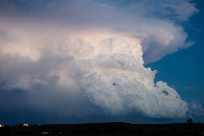
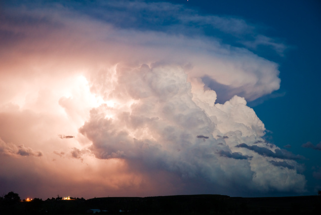
We finally called it a chase and went back west to Sidney for the night… but beforehand, we stopped one last time to photograph the beautiful distant Cb to the southeast (long exposure on the tripod). Some interesting lightning was also captured within the updraft by both Vince and me.
Today, June 20th, Vince and I will probably be chasing in the same general region — maybe a bit farther south into Colorado. Then it appears Saturday may be a down day/drive day… as we like the looks of Sunday’s prospects wayyy up north near the MT-Canada border. More details on that later.
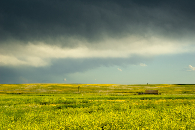
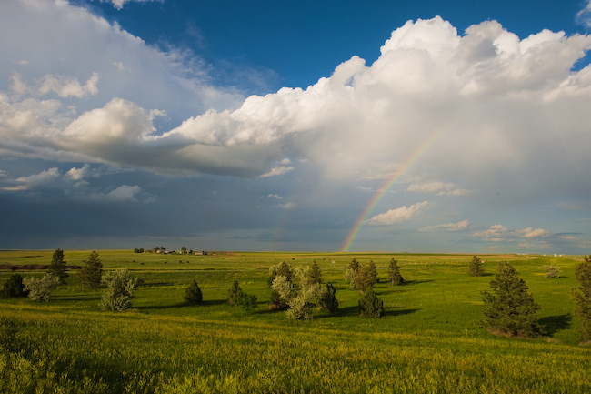
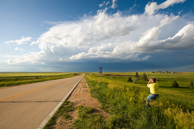
Below are a few of the images of the 211 frames I captured yesterday:
wind farms are great but they also take up a large land area~;*
Comment by Samuel Hernandez — August 3, 2010 @ 12:12 pm