Cmon move east onto the plains !!! 248pm mdt
(Sent by Mike’s Alltel Blackberry smartphone)
disclaimer: "The meteorological
views/forecast
thinking expressed are those solely of the author of this blog
and do not necessarily represent those of official National Weather Service forecast products,
therefore read and enjoy at your own risk and edification!"
and do not necessarily represent those of official National Weather Service forecast products,
therefore read and enjoy at your own risk and edification!"
June 23, 2009
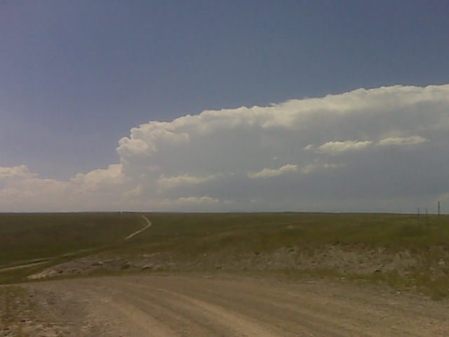
Developing supercell over the mountains
3 Comments »
RSS feed for comments on this post. TrackBack URL
Hey Mike,
It looks like there is just enough cinh (100-150 j/kg) east of the mtns to prevent movement away in the next hour or so, but after that the cinh should be low enough that you’ll get ewd development towards I-25.
Casey
Comment by Casey Crosbie — June 23, 2009 @ 4:00 pm
Vedauwoo Pass (8400 ft) is 67F/51F with east winds at 17 mph. This wind direction could be off by 30-40 degrees. This yields a sfc based CAPE of 2300 j/kg. Pumpkin Vine is 67F/53F with se winds at 23 gust 32 mph. So this storm doesnt have to move too far east to be in a good environment. Take that road that goes southwest from Chugwater?
Comment by Jonathan Finch — June 23, 2009 @ 4:13 pm
Casey: I’m really disappointed in how this day turned out. There were just too many storms that formed in too close of proximity to one another, so it quickly became a big mess out there once the action shifted just east of Cheyenne. Then I saw Dean Cosgrove’s images of the Stapleton, Nebraska supercell… and I died a little. LOL. It’s been a great season for me photography wise, but also a season that could have yielded so much more, too.
Comment by Mike U — June 26, 2009 @ 4:35 am