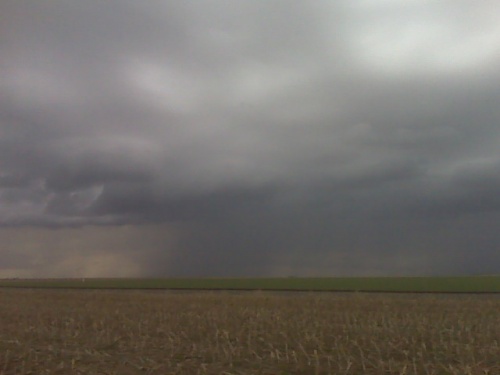
on an outflow dominant storm trying for some remaining daylight
lightning photography near one of the rain shafts… hopefully a
somewhat tiered shelf cloud can form, but nothing much yet… the
storms have developed as far southwest as western gove county… but
still remaining sub-severe.
disclaimer: "The meteorological
views/forecast
thinking expressed are those solely of the author of this blog
and do not necessarily represent those of official National Weather Service forecast products,
therefore read and enjoy at your own risk and edification!"
and do not necessarily represent those of official National Weather Service forecast products,
therefore read and enjoy at your own risk and edification!"
April 15, 2010
outflow dominant storms near quinter ks
trying to exercise patience
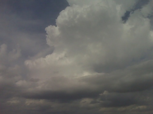
I am between scott city and dighton. I had just about given up on the
scott city area as the cumulus were just struggling to ascend deep
into the troposphere…so I started heading east on Hwy 4 closer to
ongoing weak storms north of Wakeeney. Upon reaching Healy, I noticed
new development on radar to the west-southwest of Scott City. So I am
now about halfway between the two areas of interest. There’s a small
congestus clump to the north-northeast that keeps going up and down,
so I’m just going to sit here for a little bit I think along hwy 4
until it becomes more clear which area to commit to. -mike u
Waiting for convective initiation near Scott City
Sitting just outside of scott city watching a weak shower develop and weaken.. But more towering cu are developing in this area and to the west and southwest… 18z NAM continues to suggest that this area will develop marginally svr storms by 00z (7pm).
April 10, 2010
Test!
Tjhis is a test message emailing to my blog from the road. Would love to be seeing sme storms right now! TEST. Tornado just observed but brief about 5 mins ago to near hodgeman ford county line TEST!!
Test!
Tjhis is a test message emailing to my blog from the road. Would love to be seeing sme storms right now! TEST. Tornado just observed but brief about 5 mins ago to near hodgeman ford county line TEST!!
April 4, 2010
Horsethief reservoir
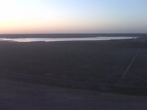
The brand new reservoir is about 35 percent full. Hopefully the basin that feeds this will get dumped on this spring to fill it up!

mock chase update
Some notes from this mock/test chase….the road leading to the horse thief=
reservoir is not open.. so I'm detouring north in hopes to get a view =
of the reservoir before the sun sets… I took out a pheasant heading north=
… and I see some towering cumulus to the distant southeast at the nose of=
the mid 60s dewpoints.=A0 Decent internet connection without the external =
with this USB verizon card.=A0 I'm fairly pleased up to this point.