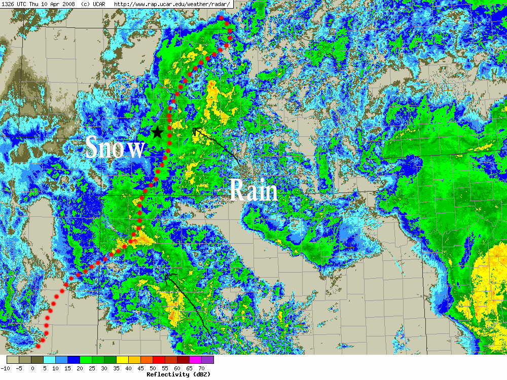
Regional radar image. Dotted red line represents the rain/snow line. This is a very impressive radar image. There is going to be a LOT of snow where I’m at!!:
Regional radar image. Dotted red line represents the rain/snow line. This is a very impressive radar image. There is going to be a LOT of snow where I’m at!!:
No comments yet.
RSS feed for comments on this post. TrackBack URL
Powered by WordPress