June 18, 2008 — Brief Supercell from Seldon to Quinter, KS
Vince and I started our chase trip on Wednesday, June 18th, by intercepting a briefly interesting marginal supercell thunderstorm that tracked from Seldon to Quinter (I finally chased a Quinter storm!) before losing the storm on muddy roads south of Quinter. Our initial target was Syracuse to Goodland, KS or thereabout, and we were initially torn between two areas of potential development: 1) SW Nebraska to the south of Ogallala and 2) to the southwest of Leoti, KS where there was small scale convergence occurring at the nose of 100 degree air. We opted for the northern play given the fact it wasn’t so hot up there and also 60+ dewpoints were more common.
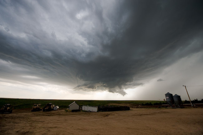
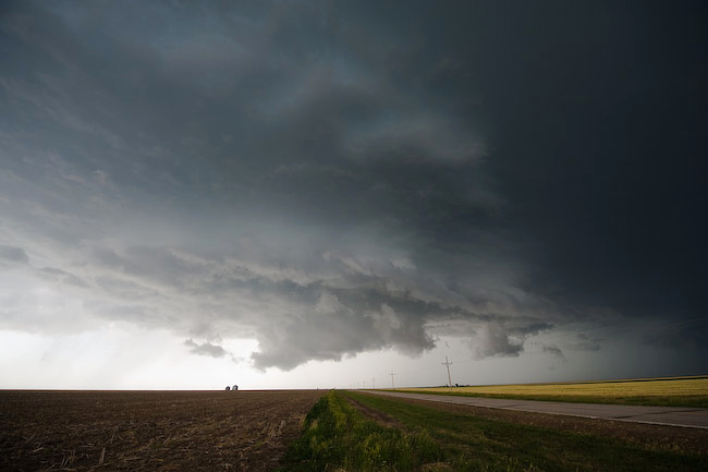
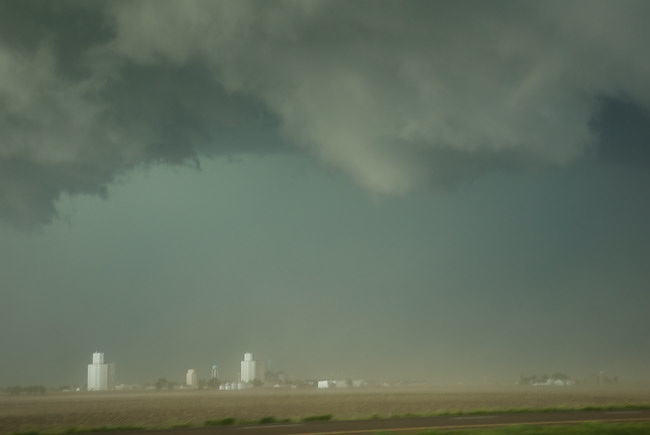
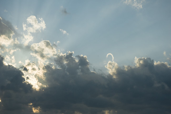
When we got to Colby, other storms were forming to the northwest of us, some of them tornado warned, but they were very high-based. The tornado threat looked nil. We knew that going in, but we decided to hang out about 15 N Colby to monitor this struggling activity to our northwest, east of Haigler NE as well as the progress of the larger storm that was moving southeast toward McCook. I did capture one cloud-to-gloud lightning image from a high-based junk storm while we sat north of Colby. We decided to head east on a dirt road toward Seldon. On approach, we noticed a fairly beefy base develop just to our Southwest. After nearly canning the whole chase since it looked bleak, we optioned to give one last attempt at this area of interest. We dropped south from Seldon and this storm becan to take on interesting updraft structure with some supercell characteristics. The problem was it was also undercut by strong north winds, at least from our vantage point due south of it, as we approached Grainfield. Nevertheless, the structure was interesting and there was indeed some cloud base rotation at times. We finally reached I-70 and drove east to Park and Quinter as the storm approached us. Massive amounts of dust was limiting visibility off to the east and northeast, some of it quite interesting from a photographic standpoint with the small town of Park in the background to the northeast. We finally reached Quinter when we thought it would be most beneficial to drop south on Castle Rock Road — not a bad option when roads are dry… but this was Gove County, KS, very limited on paved road options. At any rate, other storms were rapidly developing to the southeast and southwest of us and we essentially became trapped.
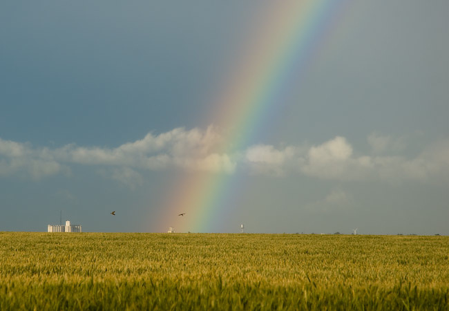
We decided that heading west on one of the dirt roads would be a better option given the limited amount of rain to the west. What we didn’t count on, though, was the rear-flank downdraft portion of the storm biting us in the but with heavy rain and small hail. That’s what happened, so we tried to manage the grated dirt roads the best we could, which actually worked out. At least we weren’t that far from I-70 and Quinter should we have gotten stuck. We drove north with only 4 miles to go on a rather hard, grated road, albeit very wet. Well, the road eventually got soft on us as it approached the I-70 bridge 2 W Quinter. Soft + wet = no good. Vince managed to get through it though, but it took dire patience and quite a bit of sliding ![]() We photographed a nice looking rainbow looking toward Quinter to the east behind the storm amidst our fun in the muck. We finally hit hard ground and made it to Quinter in one piece, and with the storm to the southeast of us now and less interesting looking, we called it a chase.
We photographed a nice looking rainbow looking toward Quinter to the east behind the storm amidst our fun in the muck. We finally hit hard ground and made it to Quinter in one piece, and with the storm to the southeast of us now and less interesting looking, we called it a chase.
