June 20, 2008 — Briefly severe storm; Chugwater to Cheyenne, WY
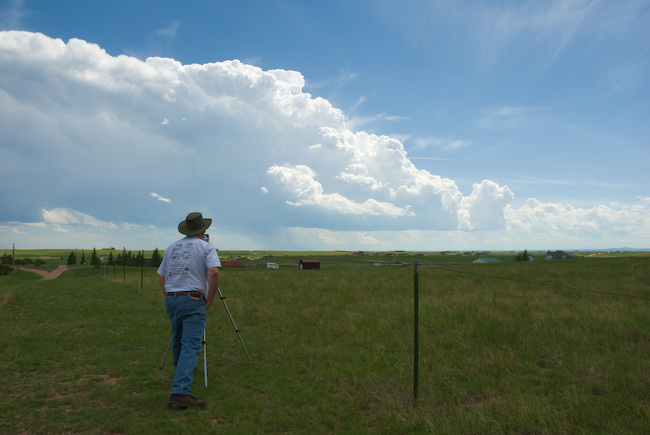
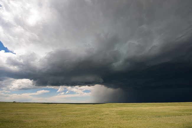
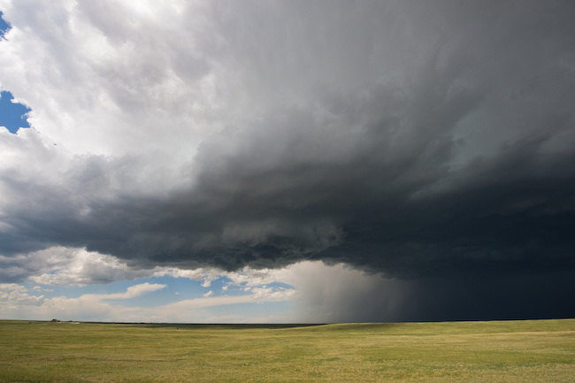
This was a rather short chase. Vince and I intercepted a storm that had some supercell characteristics early on as it was west of Chugwater moving south-southeast toward Cheyenne. We finally got good visual of the storm north of Cheyenne by just a few miles. We sat at a location just west of I-25 and watched a new impressive updraft surge occur just north of us with some weak cloud base rotation. We were also watching some small Cb growth to our south. As we drove south back into Cheyenne, our northern storm weakened rather substantially. After a quick gas fill-up, we reconsidered our options. All the storms at around 3:45pm mountain time looked rather uninspiring both visually and on radar. We decided not to head any further south and to pseudo blow off the rest of the chase, and hope that something else of substance could form farther north across eastern Wyoming. While there were a few small, marginally severe storms developing east of Lusk (which was where we were heading), we decided to just bag it and go on in to Lusk and enjoy a nice relaxing pizza dinner at this awesome pizza house here in downtown Lusk. We are staying at this same motel we stayed at last year (Town House Motel) — it’s small, but quite clean and roomy. Below are a few photos from our one and only stopping location to document north of Cheyenne: