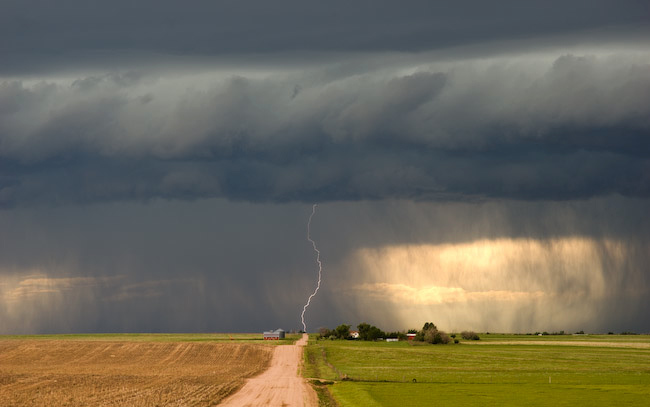
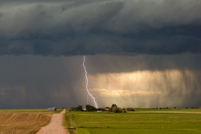
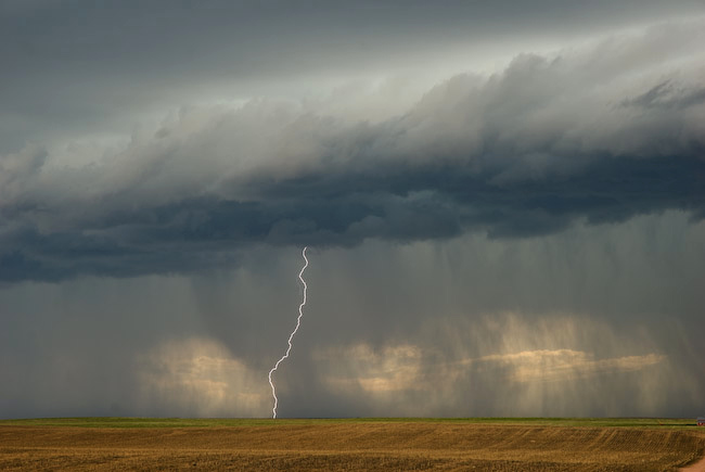
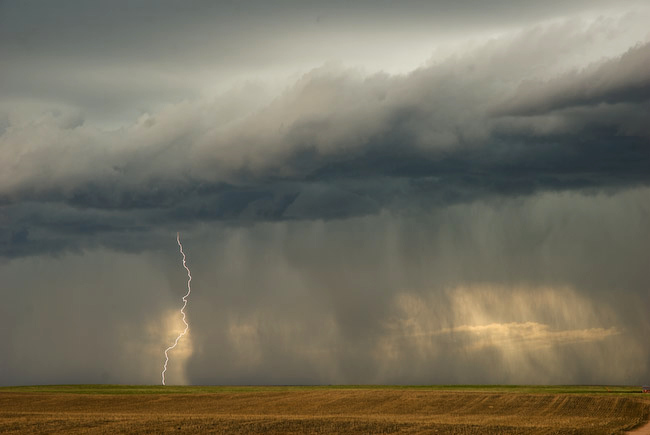
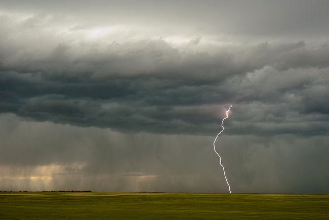
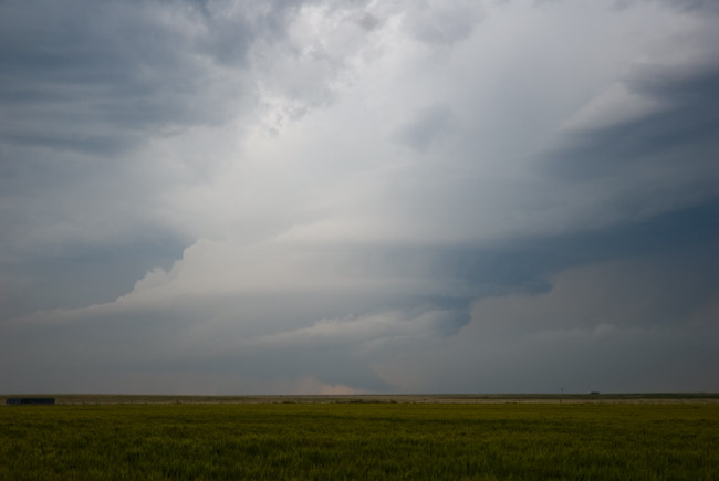
Evan, Jay, and I saw the end of the Karval, CO supercell(s) as we were sorely out of position earlier in the afternoon up along I-70 near Siebert. We busted south and west to get to tail-end charlie, but by the time we got there, the best of the show was likely over. We did catch some of the striated barrel updraft of the eastern supercell as we were driving east toward Karval. Ugh I wish we were closer. Best images of the day for me were daytime CG lightning from the high-based linear storms north of Limon overlooking a farmstead on a dirt road north and east of Limon. Obviously, am disappointed in Leaving DDC at damn near Noon missing the supercell and tornado in Haskell county. I over-analyzed this one. D’oh!
Hey Mike! Great to see that profile of the storm! We waved when we drove by (I was with Michael Carlson in the red suburu). Beautiful shots, as always.
Comment by Dann Cianca — June 15, 2009 @ 11:13 am