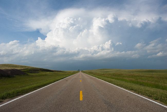
My original target on July 10th was Cheyenne, WY in anticipation of late afternoon storm development off the Laramie Mountains. As it turned out, I ended up chasing non-mountain generated thunderstorms, and eventually chased a storm rather far from my original target. I sat in Cheyenne for much of the early/mid afternoon, however initial congested cumulus clouds were not doing much, and was actually starting to think I was too far south being in Cheyenne. There were two areas that caught my attention: 1) heavily congested cumulus field to my northeast, way up near Harrison, Nebraska and 2) some towers forming west and northwest of Wheatland, WY (near Laramie Peak). I blasted north on I-80 to Wheatland then took a scenic road east to Ft. Laramie along Hwy 26. An impressive Cb formed to my northeast as I approached Ft. Laramie, and given the lack of convective embryos back to my west toward the mountains, I made the decision to go after a sure thing: A rapidly developing storm to my northeast. Given the road network, I wouldn’t be able to make an intercept of this storm until I got north of Mitchell-Scottsbluff.
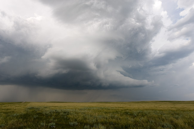
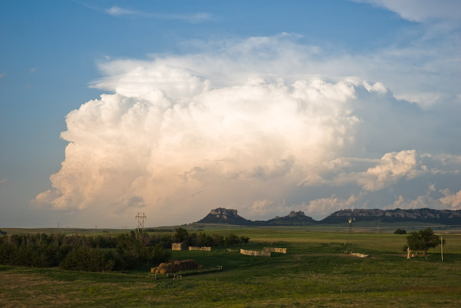
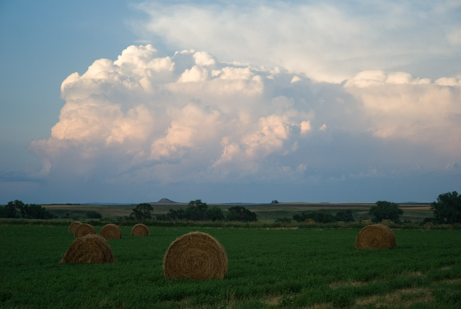
I took Hwy 29 north about 25 miles with a good view of the Cb right up the road. I stopped once for photos along this highway. I then headed east to jump on Hwy 71. The storm was to my northwest about 10-20 miles away, and it was moving southeast toward me. I barely made it to a farm road grid west and southwest of Hemingford. I thought I was in good shape — getting into a pretty good position with this storm, however once I got into a decent position, the storm rapidly declined in intensity. The storm had split earlier on (supercell processes at work), and the left member of the split moved northeast away from me. As it turned out, the left member dominated, and the right member (the one I was chasing) died. This is opposite what usually happens, however the local wind shear profile in this area had either a straight-line hodograph or slightly counter-clockwise looped hodograph in the low-mid levels — which is a little more unusual as low-mid level hodograph shapes for typical supercells tend to have a clockwise curvature to it. After my storm died (the right member), I drove north along Hwy 2 to photograph the backside of the severe left-mover supercell which went through Chadron. It began to get dark as I neared Chadron and the storm was also beginning to die, so I ended the chase here. Below are a few images from this chase: