High Plains Drifter


disclaimer:  "The meteorological views/forecast thinking expressed are those solely of the author of this blog
and do not necessarily represent those of official National Weather Service forecast products,
therefore read and enjoy at your own risk and edification!"

June 20, 2008

June Chase Trip 2008: Day 2 Summary (CO-NE Border)

Filed under: Chase Accounts,Chase Trip 2008,Storm Chasing — Mike U @ 7:23 am

June 19, 2008 — Picturesque Severe Storms; Weld County, CO to near Sidney, NE

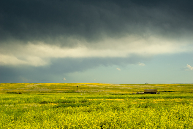
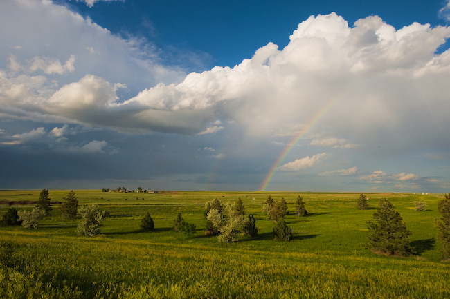
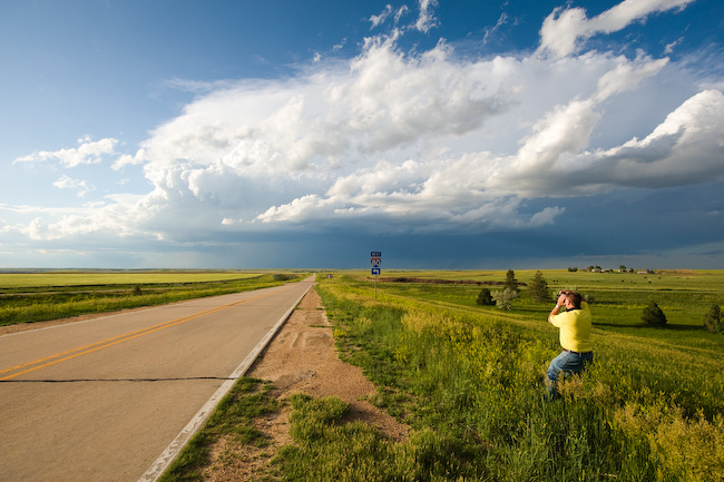
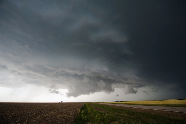
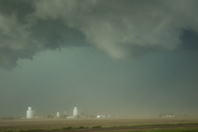
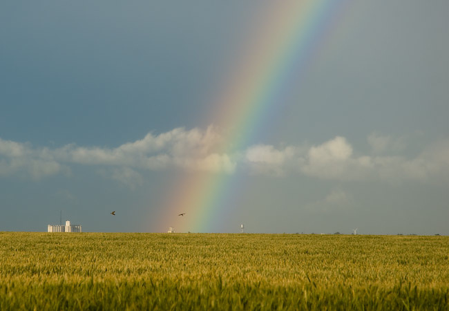
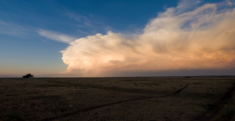
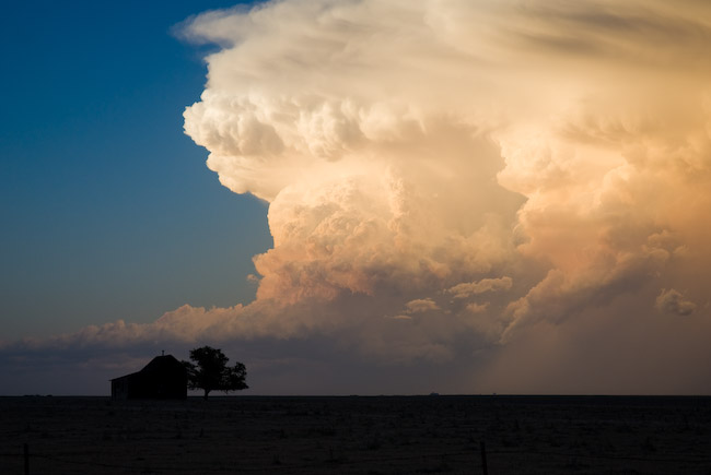
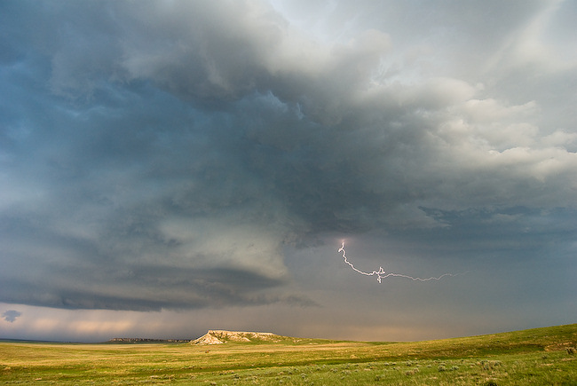
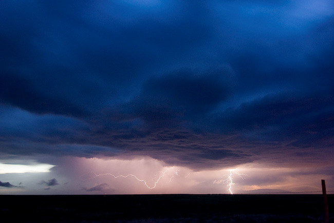
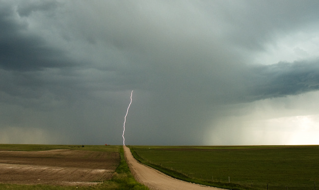
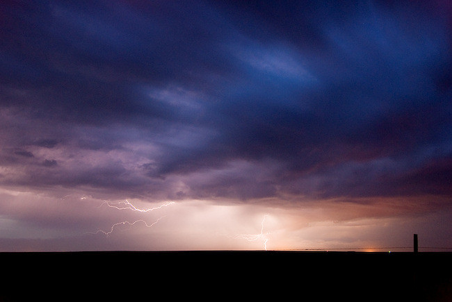
Vince and I started the day in Colby, KS with a target of the southwestern Nebraska Panhandle in mind.  We anticipated storms forming off the Laramie mountains west and northwest of Cheyenne.  This indeed happened as forecast.  The first storm we chased was one which developed just north-northwest of Fort Collins.  This was initially a storm with supercell characteristics on radar as we were driving toward it… another one of those "left moving" supercells.  The main storm updraft kept moving/developing to the northeast against the west-northwesterly flow aloft.  We intercepted this storm in far northeastern Weld County only a few miles south of the Nebraska border.  The contrast and colors were pretty good, and I managed to capture a couple cloud-to-ground lightning flashes to the west.  Eventually, this storm weakened and became a bit more "messy" on radar (and visually).  We continued east for quite some distance along County Route 78.  One thing that was striking was the gigantic wind farm that extends west to east along the crest of the Cheyenne Ridge in this area (Peetz Wind Power).  Once we reached Hwy 113 (which turns to Hwy 19 in Nebraska), we continued north to Lorenzo and monitored a fairly well structured, but very small updraft base to the west.  It was eventually severe thunderstorm-warned based on one report of Golfball size hail. 

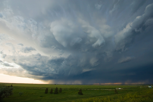
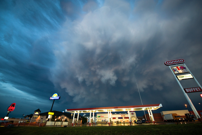
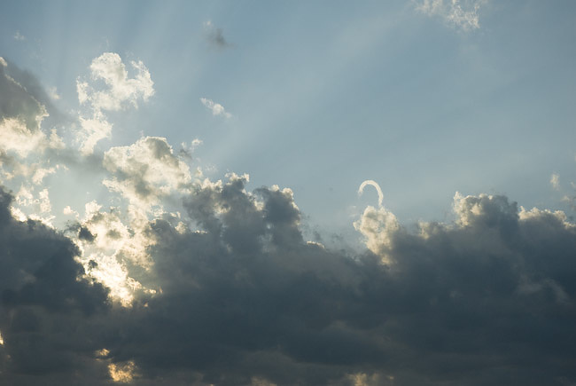
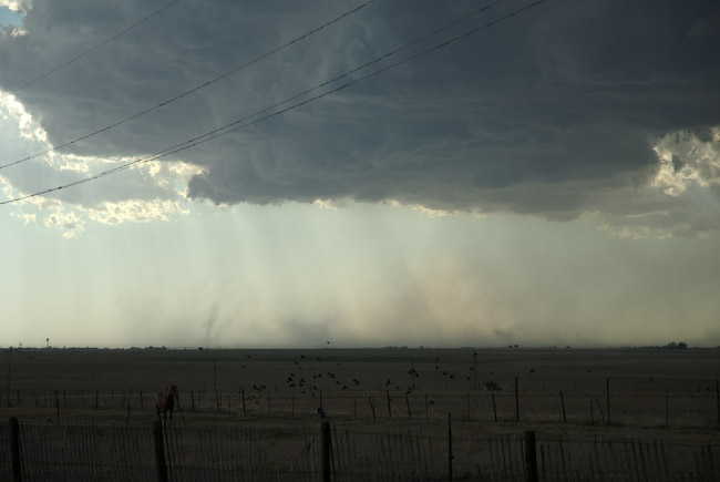
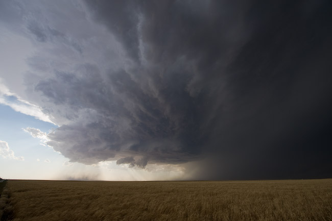
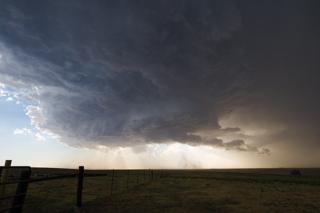
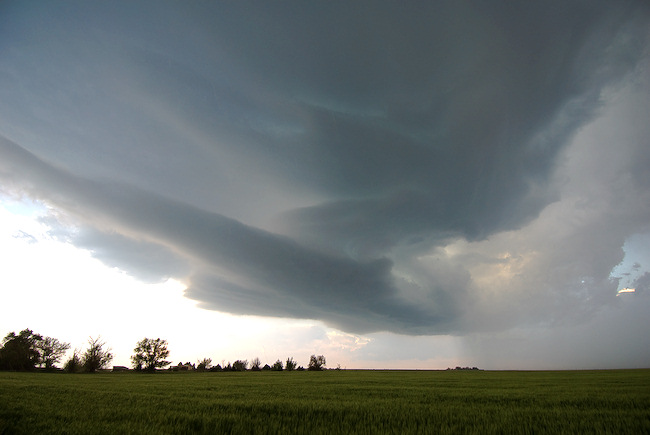
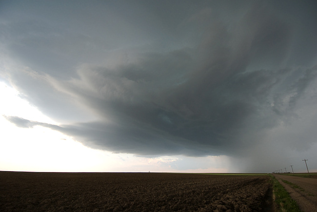
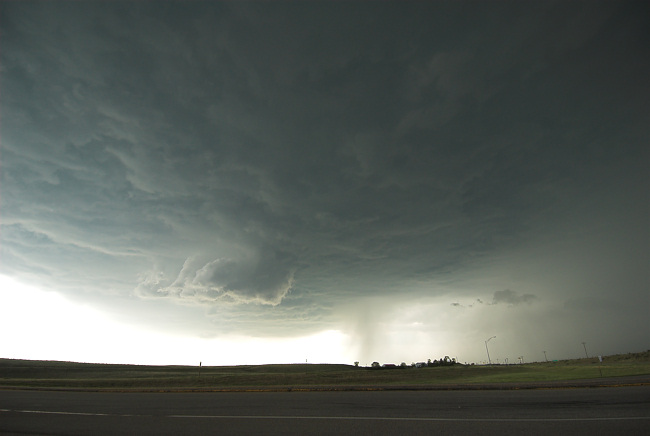
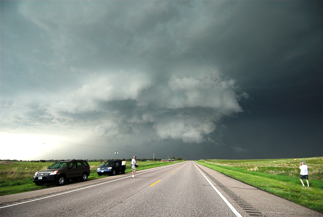
We continued on into Sidney and east on I-80, reaching exit 69 where we watched our Lorenzo storm die a rapid and ugly death before our eyes.  However, new severe storms were rapidly developing off to the north through northwest.  We sat atop the overpass at exit 69 for quite awhile monitoring both storms.  Eventually, the southeast moving marginal supercell (taking aim on Sidney) came into view.  Vince captured some pretty good time lapse since we sat at this location for quite awhile.  As the storm became west-northwest of us, the light got a lot better and we could see structure quite a bit better.  Not the best storm structure by any stretch, but the color contrast was clean and very photographically-friendly.  Some large bulbous shaped mammatus developed which was great to capture on the 14mm wide angle lens.  

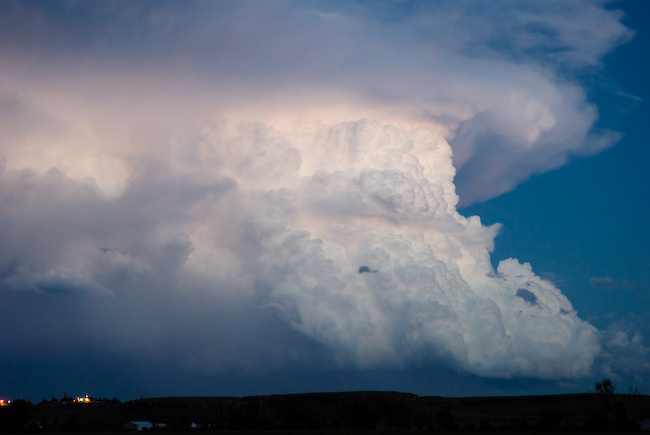
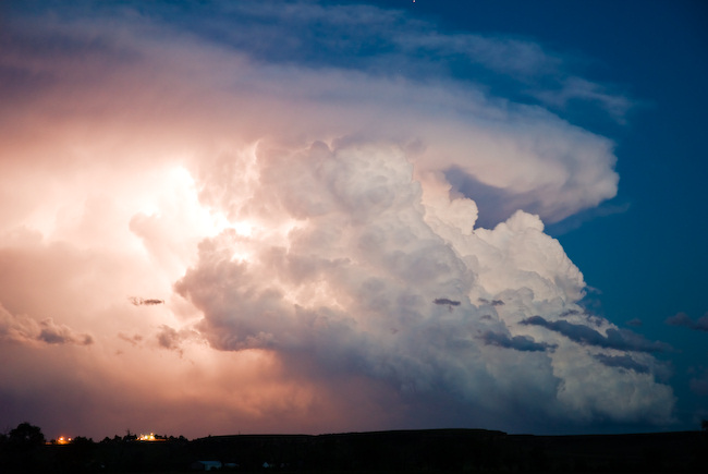
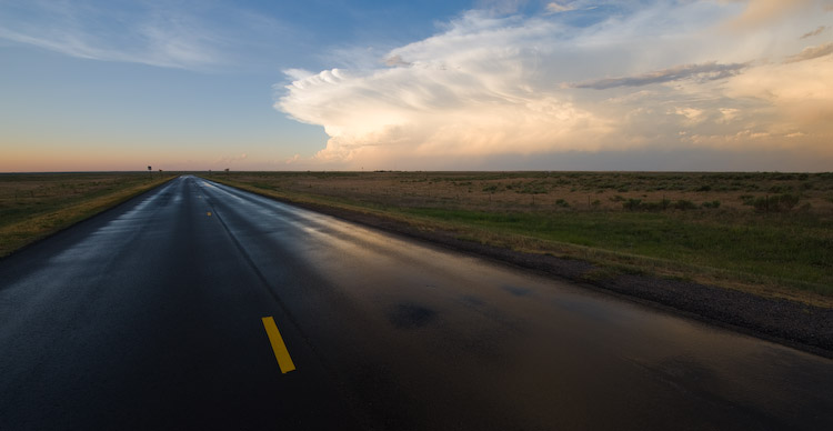
We finally called it a chase and went back west to Sidney for the night… but beforehand, we stopped one last time to photograph the beautiful distant Cb to the southeast (long exposure on the tripod).  Some interesting lightning was also captured within the updraft by both Vince and me. 

Today, June 20th, Vince and I will probably be chasing in the same general region — maybe a bit farther south into Colorado.  Then it appears Saturday may be a down day/drive day… as we like the looks of Sunday’s prospects wayyy up north near the MT-Canada border.  More details on that later. 

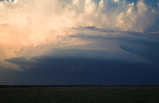
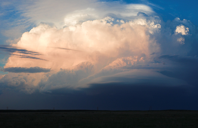
Below are a few of the images of the 211 frames I captured yesterday:


June 19, 2008

June Chase Trip 2008: Day 2 Forecast, June 19

Filed under: Chase Trip 2008,Storm Chasing — Mike U @ 11:31 am

Currently on the road, entering Colorado from Kansas on I-70.  We debated whether to target the Raton Mesa to our southwest or southeastern Wyoming.  Both areas look favorable for severe storms (The Raton Mesa area probably moreso), however given the fact that we plan on staying north for the majority of this trip, we’ll hedge north.  It doesn’t look that much more spectacular down there anyway — in fact storms may tend to be more HP-type in nature due to a bit weaker upper level flow down there.  We are planning to stair-step our way northwest toward the CO-NE-WY tri-border area.  There’s already a weak storm developing along the northern end of the Laramie Range at midday.  There’s decent sunshine/heating occurring in the target area.

June Chase Trip 2008: Day 1 Summary (NW KS)

Filed under: Chase Accounts,Chase Trip 2008,Storm Chasing — Mike U @ 6:29 am

June 18, 2008 — Brief Supercell from Seldon to Quinter, KS 

Vince and I started our chase trip on Wednesday, June 18th, by intercepting a briefly interesting marginal supercell thunderstorm that tracked from Seldon to Quinter (I finally chased a Quinter storm!) before losing the storm on muddy roads south of Quinter.  Our initial target was Syracuse to Goodland, KS or thereabout, and we were initially torn between two areas of potential development: 1) SW Nebraska to the south of Ogallala and 2) to the southwest of Leoti, KS where there was small scale convergence occurring at the nose of 100 degree air.  We opted for the northern play given the fact it wasn’t so hot up there and also 60+ dewpoints were more common.  

When we got to Colby, other storms were forming to the northwest of us, some of them tornado warned, but they were very high-based.  The tornado threat looked nil.  We knew that going in, but we decided to hang out about 15 N Colby to monitor this struggling activity to our northwest, east of Haigler NE as well as the progress of the larger storm that was moving southeast toward McCook.  I did capture one cloud-to-gloud lightning image from a high-based junk storm while we sat north of Colby.  We decided to head east on a dirt road toward Seldon.  On approach, we noticed a fairly beefy base develop just to our Southwest.  After nearly canning the whole chase since it looked bleak, we optioned to give one last attempt at this area of interest.  We dropped south from Seldon and this storm becan to take on interesting updraft structure with some supercell characteristics.  The problem was it was also undercut by strong north winds, at least from our vantage point due south of it, as we approached Grainfield.   Nevertheless, the structure was interesting and there was indeed some cloud base rotation at times.  We finally reached I-70 and drove east to Park and Quinter as the storm approached us.  Massive amounts of dust was limiting visibility off to the east and northeast, some of it quite interesting from a photographic standpoint with the small town of Park in the background to the northeast.  We finally reached Quinter when we thought it would be most beneficial to drop south on Castle Rock Road — not a bad option when roads are dry… but this was Gove County, KS, very limited on paved road options.  At any rate, other storms were rapidly developing to the southeast and southwest of us and we essentially became trapped.  

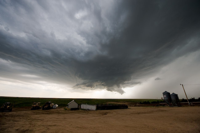
We decided that heading west on one of the dirt roads would be a better option given the limited amount of rain to the west.  What we didn’t count on, though, was the rear-flank downdraft portion of the storm biting us in the but with heavy rain and small hail.  That’s what happened, so we tried to manage the grated dirt roads the best we could, which actually worked out.  At least we weren’t that far from I-70 and Quinter should we have gotten stuck.  We drove north with only 4 miles to go on a rather hard, grated road, albeit very wet.  Well, the road eventually got soft on us as it approached the I-70 bridge 2 W Quinter.  Soft + wet = no good.  Vince managed to get through it though, but it took dire patience and quite a bit of sliding :)   We photographed a nice looking rainbow looking toward Quinter to the east behind the storm amidst our fun in the muck.  We finally hit hard ground and made it to Quinter in one piece, and with the storm to the southeast of us now and less interesting looking, we called it a chase.  


June 18, 2008

June Chase Trip 2008: Day 1 (KS-CO Border region)

Filed under: Chase Trip 2008,Storm Chasing — Mike U @ 10:34 am

The trip begins today!

Vince Miller is making his way to Dodge City as I type, and will be arriving shortly before noon.  It looks like we won’t have to go too far for Day 1.  In fact, it appears the first three days of our trip will be in the same general region of eastern CO and adjacent western KS.  For today, am expecting severe storms to develop in a north-south corridor from near Lamar to Wray, CO or so.  I think we’ll just head west on Highway 50 to Syracuse or thereabouts…and re-evaluate from there.  -Mike U

June 16, 2008

Chase Acct: June 15, 2008 (TX-OK Panhandle)

Filed under: Chase Accounts,Storm Chasing — Mike U @ 3:25 am

Sunday was another out-and-back trip.  I decided on yet another spontaneous chase after pseudo monitoring the situation while doing some other things during the afternoon.  It looked like there was a convergence max in the surface wind field near Beaver, OK, and with quite good deep layer shear and adequate moisture + instability (despite it being near 100 degrees to achieve this instability), I quickly gathered my gear and set out south to Englewood, KS (again, much like yesterday!).  There were several small storms developing to my southwest, and it took awhile for a supercell to be born out of this bunch.  Once I reached ~ 5 miles south of Laverne, I headed west on Hwy 270 to intercept the base of what would become the "Booker" supercell.  After heading west 20-25 miles, I dropped south to Darrouzett, TX, and this was really when I could get a good visual on the storm’s updraft.  I noted a big mass/column of dust near the updraft area.  I saw a storm chaser, Steve Miller, on the SpotterNetwork located very near this area, so I called him to find out what was up with this huge area of concentrated dust.  This area was showing diffuse rotation, but nothing really all that tornadic.

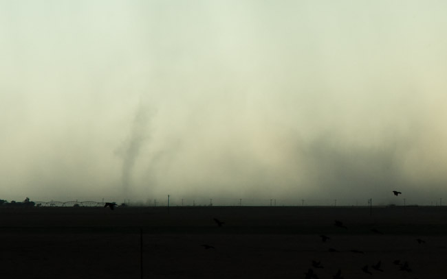
Just before I reached Booker, TX, I saw a very focused, translucent vortex tube in the dust.  For a very brief time, there was a miniature dusty "debris cloud" looking thing right below this translucent dust tube.  Thinking that this could have been a small tornado, I pulled over and took a couple photos.  Not sure exactly what to call this, but it could certainly be argued that it was a very brief, very small tornado.  This was the only tornadic-like action I observed in the dust, although the whole time, I remained well to the east and southeast of this activity — I was more interested in the storm structure for photography purposes.  This was a well-sculpted high-based supercell with rather meaty updraft structure — including a few wall clouds.  I followed this south on Hwy 23 south of Booker.  At times I had strong easterly inflow winds around 35 mph blowing into this storm.  Around 7:30 or so, the storm was beginning to show signs of decreasing in intensity.  I wasn’t all that interested in continuing south, since I had to be back to Dodge for my next midnight shift.  I blew off the storm and headed back north through Booker and Beaver up to Meade. 

The drive on Hwy 23 in Meade County, KS was spectacular, as two storms to my northeast were on a collision course near Dodge City.  The "Golden Hour" photography light was just phenomenal — incredible contrast and color all around.  The Cb’s to the northeast were glowing orange-gold with rock-hard convection and a fantastic downstream anvil.  This was all more or less bonus material at this point, as my main goal at this point was just to get back home.  I stopped a few times to take advantage of this moment with the camera.  After the sun set, this storm finally met its demise, and I made it back to Dodge around 10:15pm or so.


June 15, 2008

Chase Acct: June 14, 2008 (Northwest OK)

Filed under: Chase Accounts,Storm Chasing — Mike U @ 3:39 am

This was another one of those spontaneous chases.  I wasn’t exactly planning on chasing today, but I kept the opportunity open given the decent  west-northwest mid and upper level flow pattern combined the increase in 60s dewpoints northwest toward far northwestern Oklahoma.  Since I was due in to work at midnight, I was on a "leash", so I couldn’t really stray too awfully far from Dodge City.  That said, I decided to drive down toward Englewood, leaving around 4:30 or so.  I was just hoping for an isolated storm to form somewhere near Beaver County, OK just to the south and southeast of Liberal.  I was banking on storm motion being southeasterly given the mid level winds.  No storms formed in my target area.  By dumb luck, a storm had formed well to my south around the central Texas Panhandle.  This storm, a left-moving supercell, likely split off from initial convection that developed across the TX panhandle.  The end result was a storm that was moving northeast, instead of southeast.  This was good!  It was basically moving closer to me as I decided to inch farther south and east.  I took some initial photos around the Logan, OK area of the distant storm to my south-southwest.  I drove down to Follett and continued east as the main updraft of this storm was coming more into view. 

Left-moving supercells are somewhat rare and only thrive in environments that have a nearly straight line hodograph.  Usually left moving supercells have a hard northerly component, so storm relative boundary layer winds will have a northerly component to them.  Usually air is more stable the farther north you go unless a left-split storm is isolated and within a large warm, moist sector such that northerly storm relative winds are providing inflow into the storm with ample CAPE.  Well, this happened yesterday, and this supercell was fairly long-lived for a left-moving storm.  It produced a fairly long swath of very large hail of baseball size.  Photographically, this storm was awesome.  It was all by itself against blue sky, and the convection was very crisp with fantastic contrast.  It was exactly the type of storm I look to photograph.  All sorts of color and contrast.  This was the first good supercell I’ve photographed now with my new Nikon D3 + 14-24mm f/2.8 Nikon lens.  I looove that 14mm focal length on a full frame sensor!!  No 1.5 crop factor.  Wow is it wide.  I’m going to love this on my chase trip coming up (more details on that in a blog post soon!).  I followed this highly photogenic left-moving supercell from Gage to Woodward before calling it a chase.  There were moments with this storm where a decent looking wall cloud would develop with modest cloud base rotation (anticyclonic!).  Once I got to Woodward around 8:45pm or so, the storm was beginning to shrivel up croak.  It was excellent timing since I had to start my drive back to Dodge so I could get ready for work at midnight.  Below are a few photos:
 

June 11, 2008

Chase Acct: June 10, 2008 (SW KS Bust!)

Filed under: Chase Accounts,Storm Chasing — Mike U @ 9:08 am

I’m not going to make this a very long post… but I’ll at least document this unfortunate chase.  Tuesday, June 10th was a day off work, and I was rather excited about the possibilities of playing with my new toy (more details in the next blog post!!) the very first day I got it.  All along, it appeared that it would be one of these marginal days for storm initiation, and if a storm went up, it would probably be all by itself, or at the very least, be some 200 miles away from the next storm.  My target for this happening was Southwest Kansas, probably not too far from Dodge City.  That isolated storm did indeed happen…. in North-Central Kansas!  Needless to say, I never made it up there, and all I could see was this tremendous back-sheared anvil way up on the northeast horizon.  This is a bust that is rather painful because I knew something like this would be extremely photogenic — tornado or not.  There were probably a handful of chasers on that storm, and only one SpotterNetwork car made it up there and that was Charles Edwards.  He actually blasted north from south of Dodge City early enough to get up there just in time before the last of the daylight.  Meanwhile, after the first Liberal storm initiated and struggled to survive — only ultimately to choke to death on the cap, I continued west in dire hope that another storm could form on the retreating dryline.   It never happened.  I ended the chase and drove back home, taking the long way… north to Garden City on US-83 then back east-southeast on 50.  I met up with Greg Stumpf and Steve Hodanish who were staying in Dodge — they also busted in the same area, so I wasn’t alone.  You win some, you lose a lot more ;-)
Here’s a StormLab screen capture from during the chase.  Note my position no where near that big red storm.  I’m at the bottom left between Garden City and Dodge City.  D’oh! 
 

June 5, 2008

Chase Acct: June 2, 2008 (WY-NE-CO Border)

Filed under: Chase Accounts,Storm Chasing — Mike U @ 10:27 am

June 2nd was the last of my 3-day mini-chase trip.  I started the day in Ogallala with Matt Crowther, Greg Brenneman, John Moore, and the "Original" Twister Sisters (Linda Kitchen and Kathy Velasquez).  Our target was west on I-80 near Sidney in anticipation of storms forming off the Laramie Range to the west.  There was a bunch of low clouds and light fog/drizzle to start the day across much of the Nebraska Panhandle, and this lingered through about midday before finally clearing off.  I parted ways with Matt’s group at Kimball, deciding to head west to the Wyoming border to monitor the first significant tower going up northeast of Cheyenne.  This first tower amounted to pretty much nothing.  I sat and waited awhile north of Pine Bluffs as weak showers/storms continued to develop around Cheyenne and points north…amounting to very little excitement.  The evening hours were waning fast and I was beginning to think this was going to be a bust.  I optioned back south closer to Pine Bluffs and continued to monitor, as I failed to give up hope.  I had a strong feeling decent storms would develop given the continued model forecast of strong convection developing in this area.

A supercell finally formed off to my southeast, and I bolted west on I-80 to a south option about 8 miles west of Pine Bluffs.  The storm showed some pretty good structure once I got far enough south.  I followed this storm east and south on unpaved county roads through the Pawnee National Grassland.  I stopped at a location east of Grover where I had a neat landscape with a few buttes in the landscape with the storm off in the distance to the north.  I managed to get a couple of cloud-to-cloud lightning images with the storm structure and the landscape with the Lightning Trigger.   I tried to get east of the main updraft area, but wasn’t having much luck.  A new severe storm was forming northwest of me, and I decided to wait for it for some more lightning images.  I photographed some long exposure structure + lightning for awhile in the southern part of the Pawnee National Grassland (north of Raymer).  I finally called it a chase at around 10pm mountain time, and headed south to Brush for the night.


June 2, 2008

Chase Acct: June 1, 2008 (Nebraska Panhandle)

Filed under: Chase Accounts,Storm Chasing — Mike U @ 8:18 am

Sunday, June 1st was a pretty good day for storm photography.  I targeted the far western Nebraska Panhandle, arriving at a location north of Pine Bluffs, WY by mid-afternoon.  Storms first formed off the Laramie Range and struggled for quite some time.  Finally, a cluster of severe storms formed just north of where I was positioned along Hwy 88 over far northwest Banner County, NE.  Ultimately, a supercell was spawned out of this cluster northwest of Bridgeport.  I repositioned myself to the southeast of Bridgeport after driving briefly through the core of the storm at Bridgeport, receiving 1" diameter hail.  I met up with Matt Crowther, Greg Brenneman, and the "Original Twister Sisters" at the junction of Hwy 385/92 southeast of Bridgeport.  I was greeted to a moderately rotating wall cloud to the immediate west southwest with dust being kicked up from the RFD.  We followed this supercell to the southeast across a gridded dirt road network between Hwy 26 and I-80…east of Hwy 385 (northeast of Sidney).  The storm had too much cool RFD air thanks to the high-based nature of the storm, but the structure was quite nice.  When I reached Chappell, I continued south for photography opportunities from afar.  The storm looked fantastic from the distant southwest.  I photographed the storm from the distant southwest for the rest of the chase…while pretty much all the other chasers were up close.  The isolated nature of this supercell was ideal for more distant structure shots given the pristine blue sky around the storm.  I finally called it a chase about 17 miles SSW of Julesburg and drove up to Ogallala, NE for the night.


May 31, 2008

Chase Acct: May 31 (Western OK Panhandle)

Filed under: Chase Accounts,Storm Chasing — Mike U @ 10:39 pm

This day was a bust pretty much.  I followed a very brief storm that developed near Boise City, OK during the early evening hours.  As soon as this storm tried to get organized it died a quick death.  The only photos I took were of the congested updraft tower looking east before the storm even showed up on radar.  This was a very ho-hum chase, and after this storm died its quick death, I drove north to Lamar, CO where I’m staying tonight.  Sunday, June 1st looks like a good chase day across northeast Colorado or the southern Nebraska Panhandle.  I have a feeling it will be a fairly north target, and the best long-lived storm(s) may be what forms off of either the Cheyenne Ridge or the Laramie Range.  We’ll see.  I need to make sure and not discount the Palmer Divide possibilities, because with large areal eastern Colorado moist upslope, it’s usually dumb to ignore Palmer Divide storms!

« Newer PostsOlder Posts »

Powered by WordPress