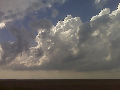
Looking wnw from north central south dakota. Tornadic supercell is likely in this area this evening
** Near-real time radar with Mike Umscheid's position along with mobile blog and photo updates! More detailed information on UTM's Live CHASE MODE here!**
status: >> August 2022 -- North American Monsoon Lightning -- Southeast Arizona Region
(this page auto-refreshes every 90 seconds)
|
....map loading, please wait...
....map loading, please wait...
|

|
-- No recent radar/chase position image. --
Mike has not been in active CHASE MODE in the past 48 hours!
== Most recent mobile blog & photo updates ==
May 22, 2010
Storms about to develop
chase update may 22 3:35pm cdt
I am currently located along Lake Oahe west of Gettysburg, SD. A
dangerous convective situation is about to unfold around this area.
SPC mesoanalysis shows 5000 J/kg of surface based CAPE and a couple
hundred joules of 0-1km SRH which computes to an EHI of over 7.
Strong tornadoes are very possible, if not likely, in this environment
if a surface based storm forms in this area… which pretty much all
the models suggest happening. The area along the SD-ND border east of
Mobridge appears especially vulnerable during the evening hours. I
will stay on the east side of the Lake and watch things bubble to my
west… as it appears to be doing as I type. It could be a long
evening.
Chase update may 22
Time is 2:38 PM Central, heading north Pierre, South Dakota. Convergence of moisture induction is all focused just northwest of Pierre and is drifting north so I will head north from Pierre and initiation of storms should occur over the next couple of hours, North, Central and South Dakota looks good.
[ Transcribed by MyCaption ]
May 21, 2010
May 21 chase day a success, drawing to a close
A very exciting day of storm photography, especially early on along
I-25 north of Wheatland. I am watching one last storm near Harrison,
NE, and after that I will be heading to Chadron for the night. I will
upload a few initial images either late tonight or early Saturday
morning.
A beast!!!
Okay. This storm is a monster. It’s up very rapidly, north west of Wheatland. It’s moving east. I got to stay east to stay out of the huge hail. There’s some big hail. Amazing structure. Huge __ tail. More later.
[ Transcribed by MyCaption ]