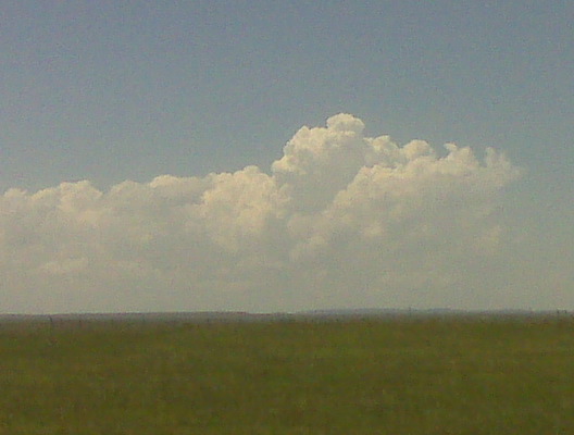
Outflow dominance rulz the world. Or at least where I’m chasing right
now. I’ve seen enough outflow scud to last several lifetimes. If
this doesn’t improve in the next 30 to 45 minutes, chase is over and
going to head to the nearest motel.
–
Mike Umscheid Photography
http://gallery.underthemeso.com
mesomike@gmail.com
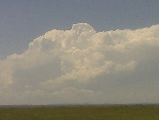
I am along Hwy 85 watching aggressive new growth just to my north. I
am hoping this will become the new action. Outflow boundaries from
the northern storm and also the storm farther south in Weld County had
collided. I am not sure what to expect now. I have a fairly warm
southeast wind, so I am keeping my fingers crossed. The northern
storm tripped the WSR-88D TVS algorithm, but looking at velocity data,
there was some bad improperly dealiased velocities that the algorithm
tripped on. there is no TVS with that Hawk Springs storm. More in a
bit perhaps.
–
Mike Umscheid Photography
http://gallery.underthemeso.com
mesomike@gmail.com

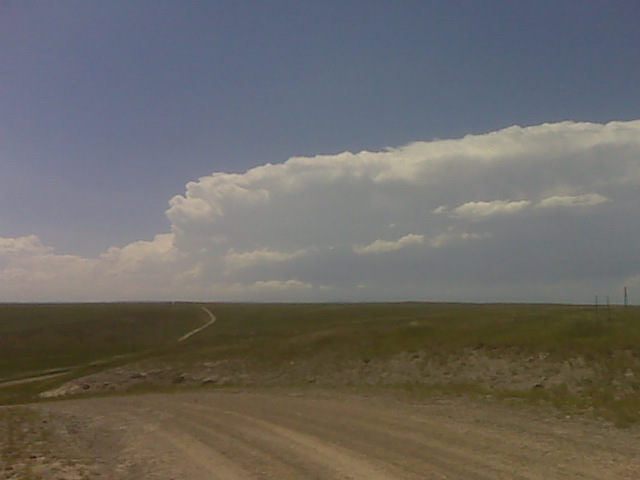
Nearby along hwy 85 at 525pm mdt
(Sent by Mike’s Alltel Blackberry smartphone)

(Sent by Mike’s Alltel Blackberry smartphone)
I took a road west of the Interstate to get a closer look at the
supercell north of Laramie, I finally have a decent view of the base
with periodic lowerings. Structure is mighty fine!
–
Mike Umscheid Photography
http://gallery.underthemeso.com
mesomike@gmail.com
Cmon move east onto the plains !!! 248pm mdt
(Sent by Mike’s Alltel Blackberry smartphone)
(Sent by Mike’s Alltel Blackberry smartphone)
Looking W from 30 N Cheyenne
(Sent by Mike’s Alltel Blackberry smartphone)
I found a nice high spot just off the interstate at interchange #39
about 30 miles north of Cheyenne. I think I’m in about as good an
area as one can be with east southeast winds , a moisture cu field to
my south through east-southeast…and developing updraft towers over
the mountains to my west through southwest. I have a great view to
the northwest at Laramie Peak, too, where there’s another cluster of
agitated cumulus over the 10,000 foot peak.
–
Mike Umscheid Photography
http://gallery.underthemeso.com
mesomike@gmail.com
With an east southeast wind. I’m goin there now.
(Sent by Mike’s Alltel Blackberry smartphone)