Just finished lunch in Scottsbluff, NE. I will be heading to
Chugwater, WY to stage for the afternoon. Fairly warm 700mb temps
would suggest a late afternoon initiation off the mountains, and given
how close the good moisture is to the mountains, storms may rapidly
become severe along the I-25 corridor…hence the reason for heading
that far west to begin this chase. More later!
–
Mike Umscheid Photography
http://gallery.underthemeso.com
mesomike@gmail.com
The last storm I intercepted died a rapid death but was photogenic complete with rainbow. Heading to Pierre SD for the nite.
(Sent by Mike’s Alltel Blackberry smartphone)
Hope to make the intercept of a supercell near Wishek by 745 or 8ish
(Sent by Mike’s Alltel Blackberry smartphone)
(Sent by Mike’s Alltel Blackberry smartphone)
(Sent by Mike’s Alltel Blackberry smartphone)
(Sent by Mike’s Alltel Blackberry smartphone)
(Sent by Mike’s Alltel Blackberry smartphone)
(Sent by Mike’s Alltel Blackberry smartphone)
I am currently sitting east of Hettinger, ND along the North
Dakota/South Dakota border along Hwy 12. There is a weak surface meso
low near Hettinger at this time, and the NAM and RUC models suggest
surface-based convective initiation near this meso low by
mid-afternoon. Fairly decent 700-500mb cold advection into western
North Dakota today, so storms are almost a given. It’s a matter of
deciding which one to chase. I think storms will eventually form
farther south into northern South Dakota by late this afternoon/early
evening, and I will have to keep an eye out for that. In the
meantime, I am hanging out here watching the cumulus bubble amidst
beautiful landscape and visibility. As I type, there is a small tower
developing to my northeast, but it is removed from the best surface
convergence, so I think it’s feeding off of elevated parcels. I’ll
keep an eye out on it though.
–
Mike Umscheid Photography
http://gallery.underthemeso.com
mesomike@gmail.com
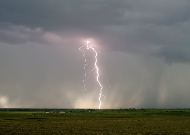
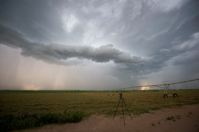
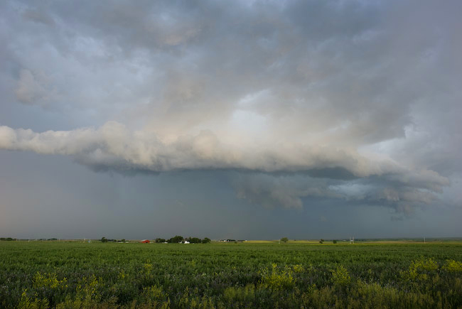
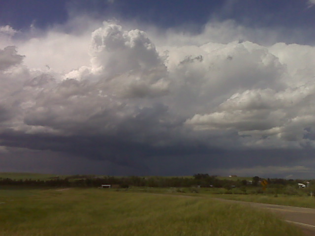
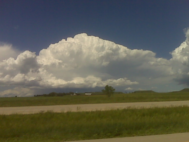
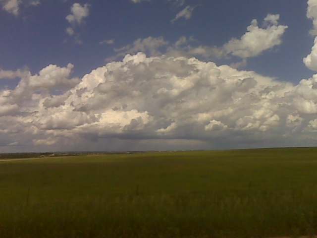
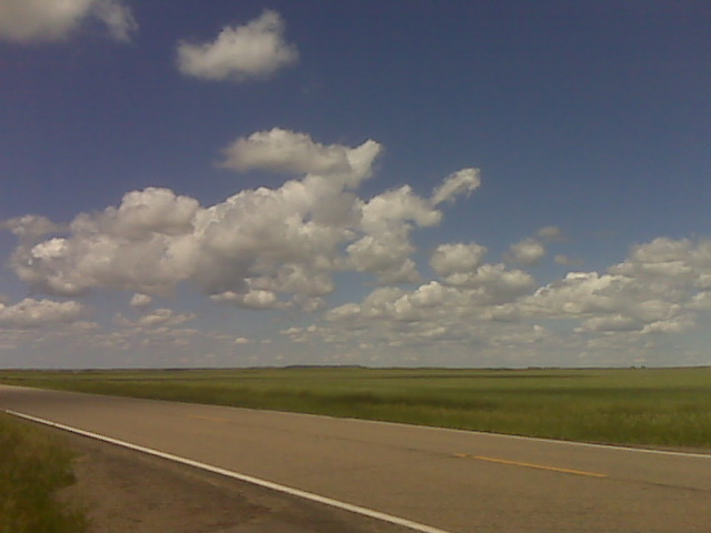
Lightning and Non-Severe Storm Structure from Iliff to Sedgwick, Colorado
Here are a couple images from June 21st chase. The color contrast was beautiful, and I managed to get a few decent daytime CG’s with the lightning trigger. No time for a report since I have to hit the road for today (June 22nd) chase.